


Wettersteinrunde Tag 3
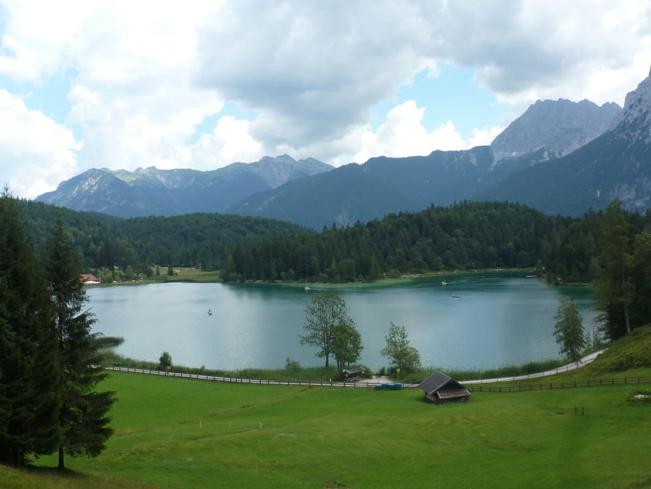
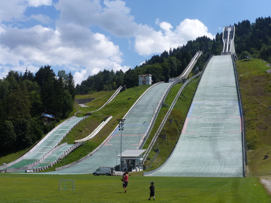
Nach der Übernachtung auf dem Karwendelhaus - Hochalmsattel - Kleiner Ahornboden - Karwendelau - Hinterriß - Vereiner Alm - Mittenwald - Lautersee - Ferchensee - Elmau - Hintergraseck - Vordergraseck - Garmisch Parkplatz Eisstadion
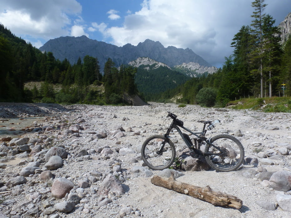
Bachüberquerung erforderlich (Schuhe ausziehen und MTB tragen)
Tolles Bergpanorama
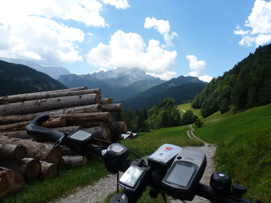
Kurze steilere Abschnitte
Einige Einkehrmöglichkeiten
Further information at
http://www.ferchensee.eu/Tour gallery
Tour map and elevation profile
Minimum height 715 m
Maximum height 1789 m
More about the tour author
|
|
ambaibiker |
Comments

GPS tracks
Trackpoints-
GPX / Garmin Map Source (gpx) download
-
TCX / Garmin Training Center® (tcx) download
-
CRS / Garmin Training Center® (crs) download
-
Google Earth (kml) download
-
G7ToWin (g7t) download
-
TTQV (trk) download
-
Overlay (ovl) download
-
Fugawi (txt) download
-
Kompass (DAV) Track (tk) download
-
Track data sheet (pdf) download
-
Original file of the author (gpx) download
More about the tour author
|
|
ambaibiker |
Add to my favorites
Remove from my favorites
Edit tags
Open track
My score
Rate