


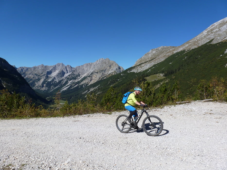
Karwendelrunde mit dem E - MTB
Ausgangspunkt Mittenwald Villa Caudia
MIttenwald - Riedboden - Scharnitz - Karwendeltäler - Karwendelhaus - Hochalmsattel - kleiner Ahornboden - Hinterriß - Vorderriß - Mautstelle - Über Brücke auf Radweg Richtung Wallgau an der Isar entlang (nicht über Strasse) - Auhütte - Krün - Camping Isarhorn - Mittenwald
Start schöner Herbsttag bei 4°C Mittags sonnig 18 °C
Viele Einkehrmöglichkeiten
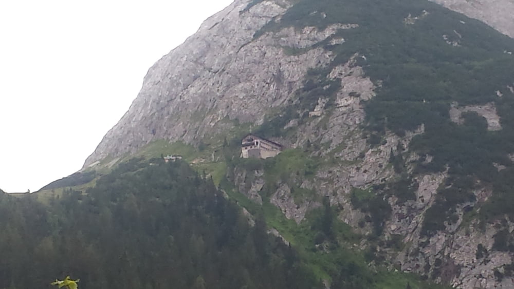
E-Ladestation auf dem Karwendelhaus ca. gemütlich 3 h von Mittenwald.
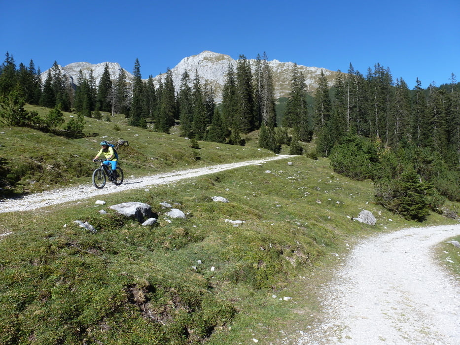
Z.T. einige steilere Anstiege
Abfahrt vom Karwendelhaus (Johannistal bis kleiner Ahornboden grober Schotter/Steine)
Further information at
https://villaclaudia.de/Tour gallery
Tour map and elevation profile
Minimum height 792 m
Maximum height 1789 m
More about the tour author
|
|
ambaibiker |
Comments

GPS tracks
Trackpoints-
GPX / Garmin Map Source (gpx) download
-
TCX / Garmin Training Center® (tcx) download
-
CRS / Garmin Training Center® (crs) download
-
Google Earth (kml) download
-
G7ToWin (g7t) download
-
TTQV (trk) download
-
Overlay (ovl) download
-
Fugawi (txt) download
-
Kompass (DAV) Track (tk) download
-
Track data sheet (pdf) download
-
Original file of the author (gpx) download
More about the tour author
|
|
ambaibiker |
Add to my favorites
Remove from my favorites
Edit tags
Open track
My score
Rate