


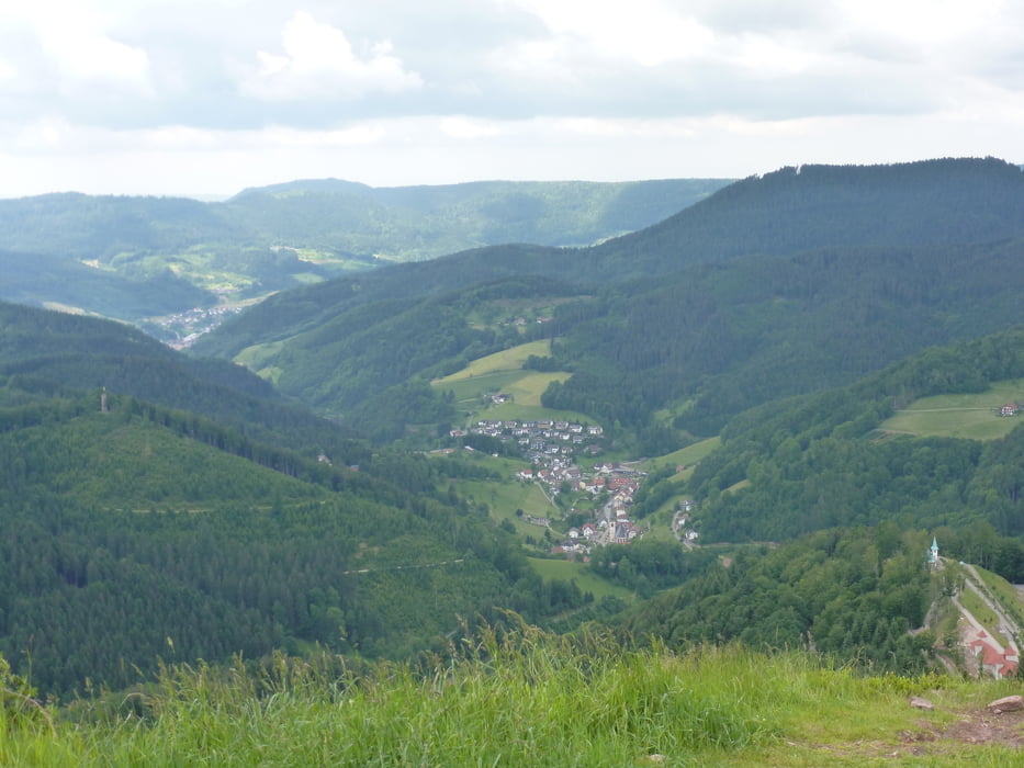
Grosse Renchtalrunde:
Stadelhofen - Tiergarten - Fatima Kapelle - Ringelbacher Kreuz - Schwend - Blaubronn - Simmersbacher Kreuz - Sohlberg - Knappeneckhütte - St. Ursula Parkplatz - Allerheiligen - Schliffkopf - Zuflucht - Lettstädter Höhe - Glaswaldsee - Littweger Höhe - Harkhof - Löcherberg - Gleitschirmfliegerplatz - (Schäfersfeld) - Ramsbacher Holzplatz - Moosturm - Späneplatz - Ofenlochhütte - Oberkirch - Stadelhofen
Trainigsrunde als Vorbereitung für Alpencross oder ähnliches geeignet.
Gute Grundkondition ist Vorraussetzung
Einkehrmöglichkeiten vorhanden
Further information at
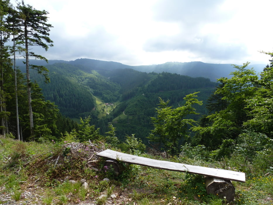
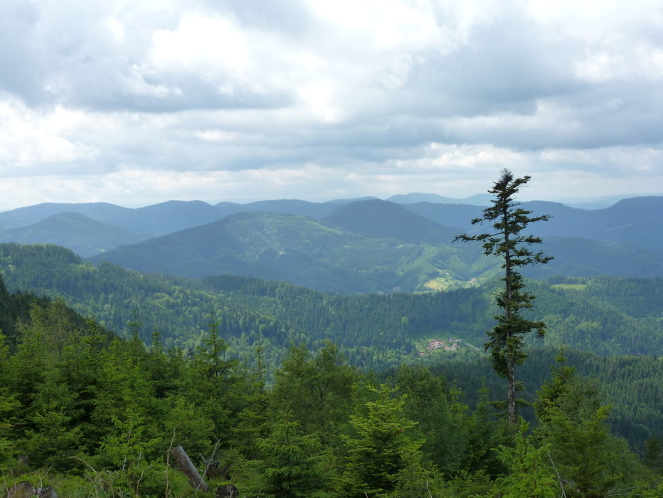
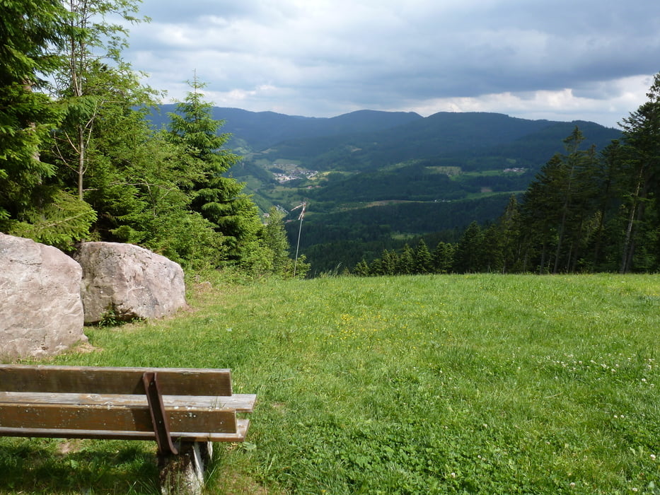
https://harkhof.jimdo.com/Tour gallery
Tour map and elevation profile
Minimum height 169 m
Maximum height 1010 m
More about the tour author
|
|
ambaibiker |
Comments

GPS tracks
Trackpoints-
GPX / Garmin Map Source (gpx) download
-
TCX / Garmin Training Center® (tcx) download
-
CRS / Garmin Training Center® (crs) download
-
Google Earth (kml) download
-
G7ToWin (g7t) download
-
TTQV (trk) download
-
Overlay (ovl) download
-
Fugawi (txt) download
-
Kompass (DAV) Track (tk) download
-
Track data sheet (pdf) download
-
Original file of the author (gpx) download
More about the tour author
|
|
ambaibiker |
Add to my favorites
Remove from my favorites
Edit tags
Open track
My score
Rate