Login

Forgot your login?

Cookies have to be accepted!
Your browser's cookie functionality is disabled. Please enable this functionality.

Not a member yet?

Register now
Login

Available for registred users only

Log in to use this feature.

Forgot your login?

Cookies have to be accepted!
Your browser's cookie functionality is disabled. Please enable this functionality.

Not a member yet?

Register now
Filter
Categories
Advanced filters
  • Distance (km)
  • Height
Save filters Reset filter

TrackRank

QRCode

Technical data

Distance393,6 km Height8624 m Way down8648 m Duration6 days 0 h Date03.10.2018
Scores Author Landscape Fun factor Fitness Technique

Statistics

245 Views Scores 38 Downloads Average
Rate
  • Track data sheet
  • Directions
  • Downloads
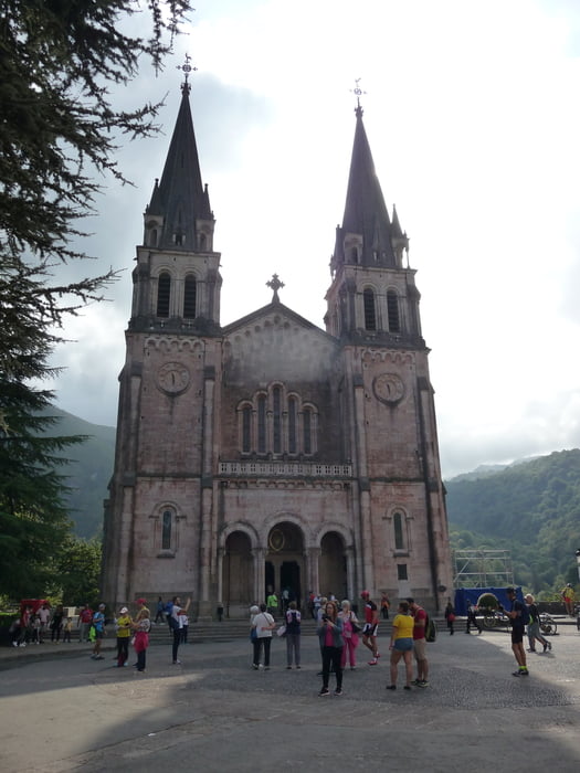
Sehr schöne Tour. Gutes Essen. Viel Spaß und tolle Landschaft. Gute Agentur vor Ort.

Tour gallery

Tour map and elevation profile

  • Open Street Map
  • Google
Minimum height -87 m Maximum height 1314 m Detailed view

More about the tour author

gerald345
Member since 2013

Send private message

Comments

Flug nach Santander, Transfer, Gepäcktransport

GPS tracks

Trackpoints
  • GPX / Garmin Map Source (gpx) download
  • TCX / Garmin Training Center® (tcx) download
  • CRS / Garmin Training Center® (crs) download
  • Google Earth (kml) download
  • G7ToWin (g7t) download
  • TTQV (trk) download
  • Overlay (ovl) download
  • Fugawi (txt) download
  • Kompass (DAV) Track (tk) download
  • Track data sheet (pdf) download
  • Original file of the author (gpx) download

More about the tour author

gerald345
Member since 2013

Send private message
Share track
Add to my favorites
Remove from my favorites
Edit tags
My score
Rate
Track: Asturien 2018
Type: Mountain bike
Distance: 393,6 km
Evaluated on:
Duration:
Day(s)
Hour(s)
Minute(s)
Score: Landscape Fun factor Fitness Technique