


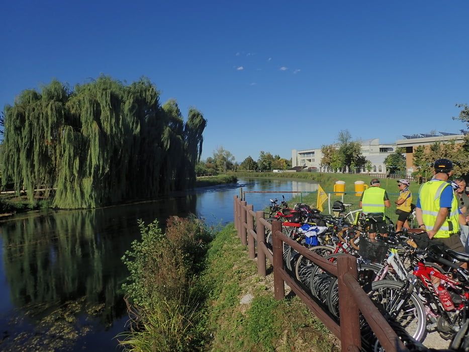
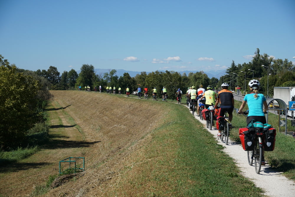
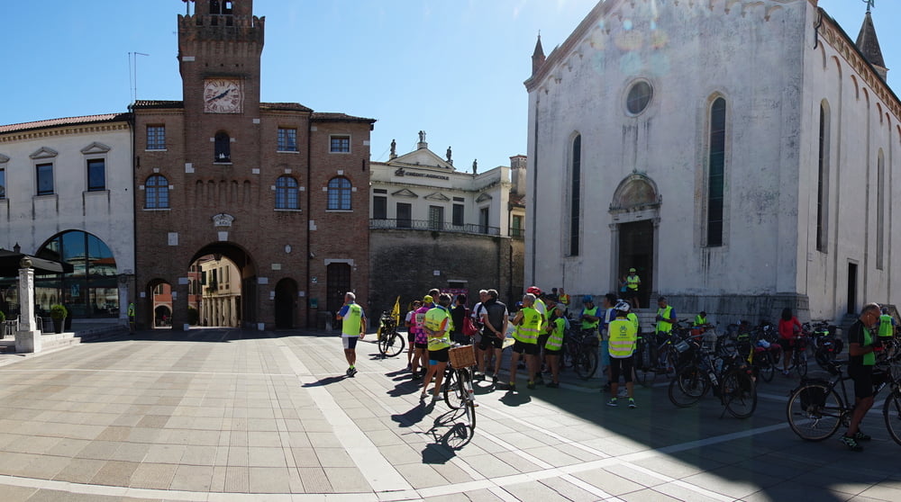
Prime 3 tappe della futura AIDA (Alta Italia Da Attraversare: da Susa a Trieste) percorse durante la Bicistaffetta 2018 organizzata dalla Federazione Italiana Amici della Bicicletta per sensibilizzare le autorità locali (e non solo) sul progetto e sulla importanza del cicloturismo per indirizzare flussi turistici anche verso realtà meno note: la ciclabile collegherà le città del nord tramite ciclabili esistenti e strade a bassa percorrenza (percorse durante la Bicistaffetta).
Nel link di Bicitalia indicato tutte le informazioni sull' argomento.
Further details on AIDA (North Italy to cross) can be found on the site linked.
The project is aimed to link the North Italy cities from Piemonte (Susa, Turin) to Friuli Venezia Giulia (Trieste Udine) or Viceversa using existing Cycle route and low traffic secondary road.
Further information at
http://www.bicitalia.org/it/bicitalia/gli-itinerari-bicitalia/195-bi20-ciclovia-aidaTour gallery

Tour map and elevation profile
Minimum height -73 m
Maximum height 141 m
More about the tour author

|
eliope |
Comments

GPS tracks
Trackpoints-
GPX / Garmin Map Source (gpx) download
-
TCX / Garmin Training Center® (tcx) download
-
CRS / Garmin Training Center® (crs) download
-
Google Earth (kml) download
-
G7ToWin (g7t) download
-
TTQV (trk) download
-
Overlay (ovl) download
-
Fugawi (txt) download
-
Kompass (DAV) Track (tk) download
-
Track data sheet (pdf) download
-
Original file of the author (gpx) download
More about the tour author
|
|
eliope |
Add to my favorites
Remove from my favorites
Edit tags
Open track
My score
Rate