


Mirna – Fluss – Weg mit Kotli & Hum
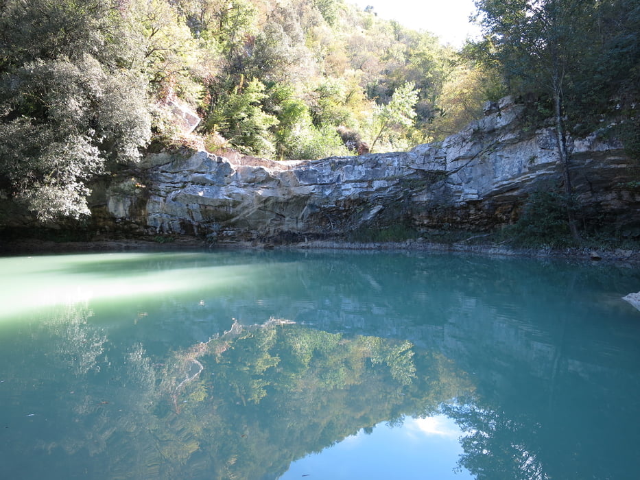
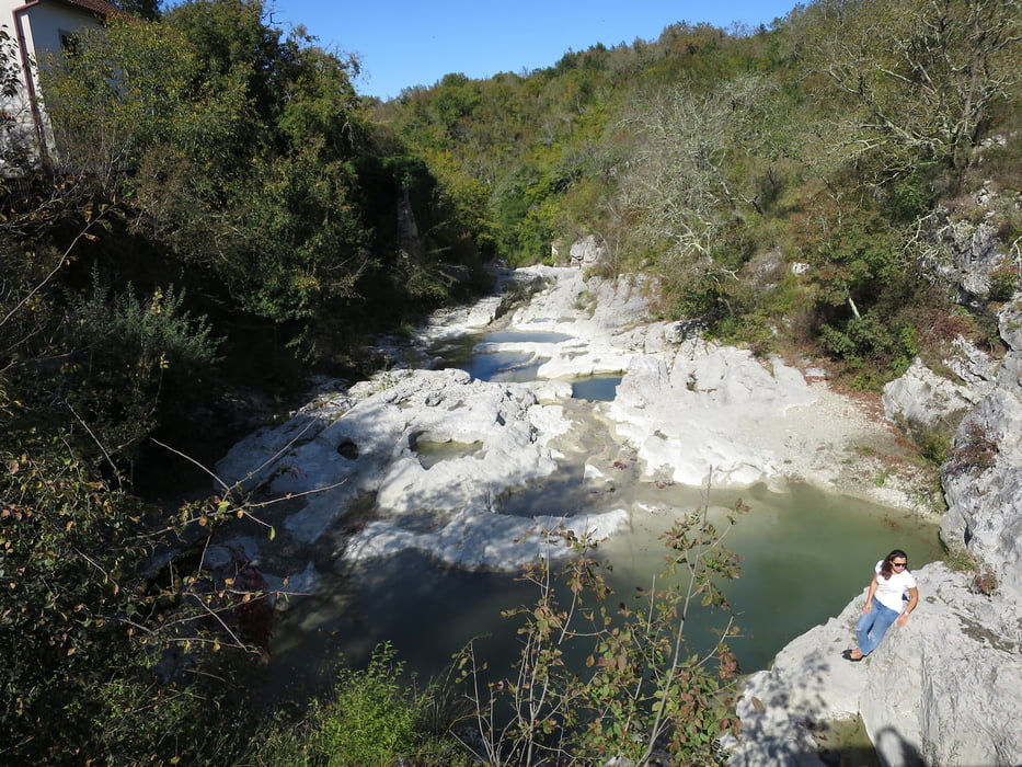
Startpunkt ist Buzet, von hier wandern wir mit Blick auf die Schluchten und Felswände des Flusses Mirna nach Kotli. Zwei Abstecher zu den Wasserfällen Grjok und Zelenczak verleihen der Tour zusätzlich einen leichten Abenteuercharakter. In dem romantischen Dorf, einst berühmt für seine Schneider und Müller, können wir eine alte Wassermühle besichtigen und einkehren, uriger ist die Einkehr allerdings in Hum.
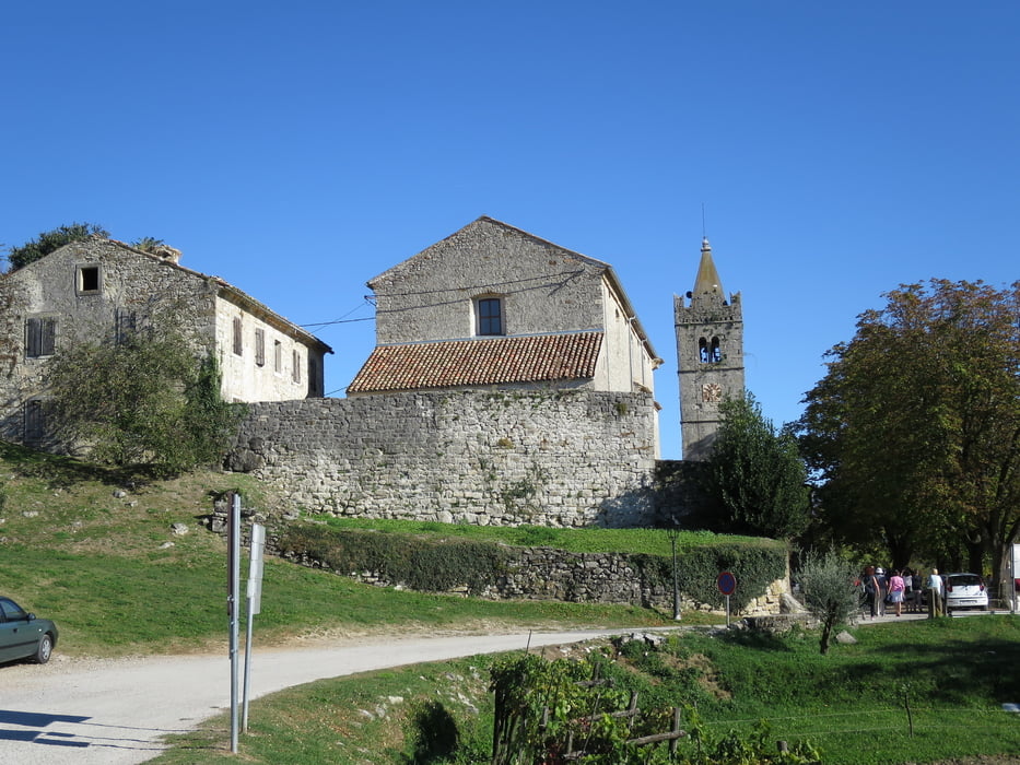
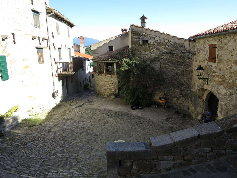
Danach geht es weiter in das pittoreske Hum, dass laut Guinnes Buch der Rekorde mit 18 Einwohnern die kleinste Stadt der Welt ist. Dank eines Babybooms sollen heute 25 Einwohner in dem Städtchen leben. Geschäftstüchtig sind die Einwohner allemal, das Örtchen hat drei Geschäfte und eine Taverne, neben deftigen Speisen werden Trüffel, Speiseöle und Liköre erfolgreich an Touristen verkauft.
Anfahrt: 52420 Buzet, Sveti Ivan, neben der Brauerei - Istrien, Kroatien – Koordinaten 45,402988°N 13,976780°E
Tour gallery
Tour map and elevation profile
Minimum height 81 m
Maximum height 383 m
More about the tour author
|
|
JZ41 |
Comments

Anfahrt: 52420 Buzet, Sveti Ivan, neben der Brauerei - Istrien, Kroatien – Koordinaten 45,402988°N 13,976780°E
GPS tracks
Trackpoints-
GPX / Garmin Map Source (gpx) download
-
TCX / Garmin Training Center® (tcx) download
-
CRS / Garmin Training Center® (crs) download
-
Google Earth (kml) download
-
G7ToWin (g7t) download
-
TTQV (trk) download
-
Overlay (ovl) download
-
Fugawi (txt) download
-
Kompass (DAV) Track (tk) download
-
Track data sheet (pdf) download
-
Original file of the author (gpx) download
More about the tour author
|
|
JZ41 |
Add to my favorites
Remove from my favorites
Edit tags
Open track
My score
Rate