Login

Forgot your login?

Cookies have to be accepted!
Your browser's cookie functionality is disabled. Please enable this functionality.

Not a member yet?

Register now
Login

Available for registred users only

Log in to use this feature.

Forgot your login?

Cookies have to be accepted!
Your browser's cookie functionality is disabled. Please enable this functionality.

Not a member yet?

Register now
Filter
Categories
Advanced filters
  • Distance (km)
  • Height
Save filters Reset filter

TrackRank

QRCode

Technical data

Distance46,9 km Height1230 m Way down1234 m Duration00:00 h:m Date07.06.2008
Scores Author Landscape Fun factor Fitness Technique

Statistics

2234 Views Scores 351 Downloads Average
Rate
  • Track data sheet
  • Directions
  • Downloads
Von Schwaz, Richtung Schloss Freudsberg auf der Asphaltstrasse bis Egertboden, dann folgt ein Forstweg bis Grafenast, kurzer Asphalt bis der Hoferweg links weg geht Richtung Loassattel nach Hochf
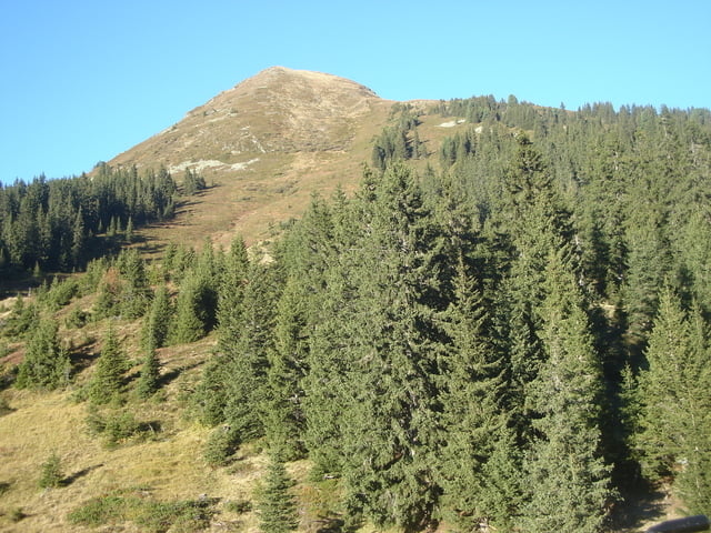
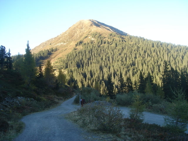
Tour gallery

Tour map and elevation profile

  • Open Street Map
  • Google
Minimum height 538 m Maximum height 1684 m Detailed view

More about the tour author

rabittom
Member since 2007

Send private message

Comments

Autobahn A12 Aussfahrt Schwaz, als Parkplatz k

GPS tracks

Trackpoints
  • GPX / Garmin Map Source (gpx) download
  • TCX / Garmin Training Center® (tcx) download
  • CRS / Garmin Training Center® (crs) download
  • Google Earth (kml) download
  • G7ToWin (g7t) download
  • TTQV (trk) download
  • Overlay (ovl) download
  • Fugawi (txt) download
  • Kompass (DAV) Track (tk) download
  • Track data sheet (pdf) download
  • Original file of the author (gpx) download

More about the tour author

rabittom
Member since 2007

Send private message
Share track
Add to my favorites
Remove from my favorites
Edit tags
My score
Rate
Track: Schwaz, Loassattel, Hochfügen, Fügen, Jenbach
Type: Mountain bike
Distance: 46,9 km
Evaluated on:
Duration:
Day(s)
Hour(s)
Minute(s)
Score: Landscape Fun factor Fitness Technique