Login

Forgot your login?

Cookies have to be accepted!
Your browser's cookie functionality is disabled. Please enable this functionality.

Not a member yet?

Register now
Login

Available for registred users only

Log in to use this feature.

Forgot your login?

Cookies have to be accepted!
Your browser's cookie functionality is disabled. Please enable this functionality.

Not a member yet?

Register now
Filter
Categories
Advanced filters
  • Distance (km)
  • Height
Save filters Reset filter

TrackRank

QRCode

Technical data

Distance41,4 km Height842 m Way down841 m Duration02:30 h:m Date07.06.2008
Scores Author User Landscape Fun factor Fitness Technique

Statistics

4223 Views 3 Scores 289 Downloads 4.00 Average
Rate
  • Track data sheet
  • Directions
  • Downloads

Die Tour ist nur was für Leute die auch Trails hochfahren wollen.

Der Track besteht aus rund 70% Trails, wobei der größte Teil S1/S1+ ist. Nur eine kurze Passage würde ich als S2 nach der Singletrailskala Klassifizieren.

Die wichtigsten Trails:

Hühnerberg, Viktoriatempeltrail, Reichenbachtal, Fuchsstein, Burg Falkenstein

Achtung: das Reichenbachtal (der Wiesentrail) ist gesperrt und wir es wohl auch bleiben.

Der Bereich muss links umfahren werden!
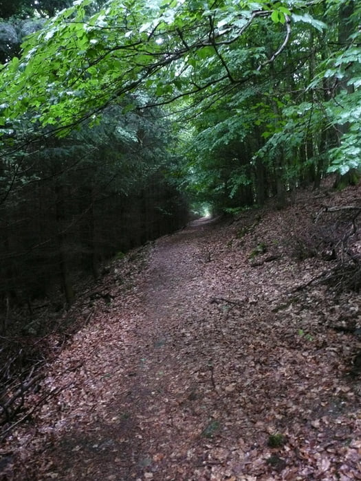
Tour gallery

Tour map and elevation profile

  • Open Street Map
  • Google
Minimum height 127 m Maximum height 684 m Detailed view

More about the tour author

Marko S
Member since 2007

Send private message

Comments

GPS tracks

Trackpoints
  • GPX / Garmin Map Source (gpx) download
  • TCX / Garmin Training Center® (tcx) download
  • CRS / Garmin Training Center® (crs) download
  • Google Earth (kml) download
  • G7ToWin (g7t) download
  • TTQV (trk) download
  • Overlay (ovl) download
  • Fugawi (txt) download
  • Kompass (DAV) Track (tk) download
  • Track data sheet (pdf) download
  • Original file of the author (gpx) download

More about the tour author

Marko S
Member since 2007

Send private message
Share track
Add to my favorites
Remove from my favorites
Edit tags
My score
Rate
Track: S1-S2 Trailtour Niederursel>Hühnerberg> Viktoriatempel>Reichenbachtal>Fuchsstein
Type: Mountain bike
Distance: 41,4 km
Evaluated on:
Duration:
Day(s)
Hour(s)
Minute(s)
Score: Landscape Fun factor Fitness Technique