Login

Forgot your login?

Cookies have to be accepted!
Your browser's cookie functionality is disabled. Please enable this functionality.

Not a member yet?

Register now
Login

Available for registred users only

Log in to use this feature.

Forgot your login?

Cookies have to be accepted!
Your browser's cookie functionality is disabled. Please enable this functionality.

Not a member yet?

Register now
Filter
Categories
Advanced filters
  • Distance (km)
  • Height
Save filters Reset filter

TrackRank

QRCode

Technical data

Distance15,4 km Height490 m Way down640 m Duration04:41 h:m Date11.11.2018
Scores Author Landscape Fun factor Fitness Technique

Statistics

270 Views Scores 18 Downloads Average
Rate
  • Track data sheet
  • Directions
  • Downloads
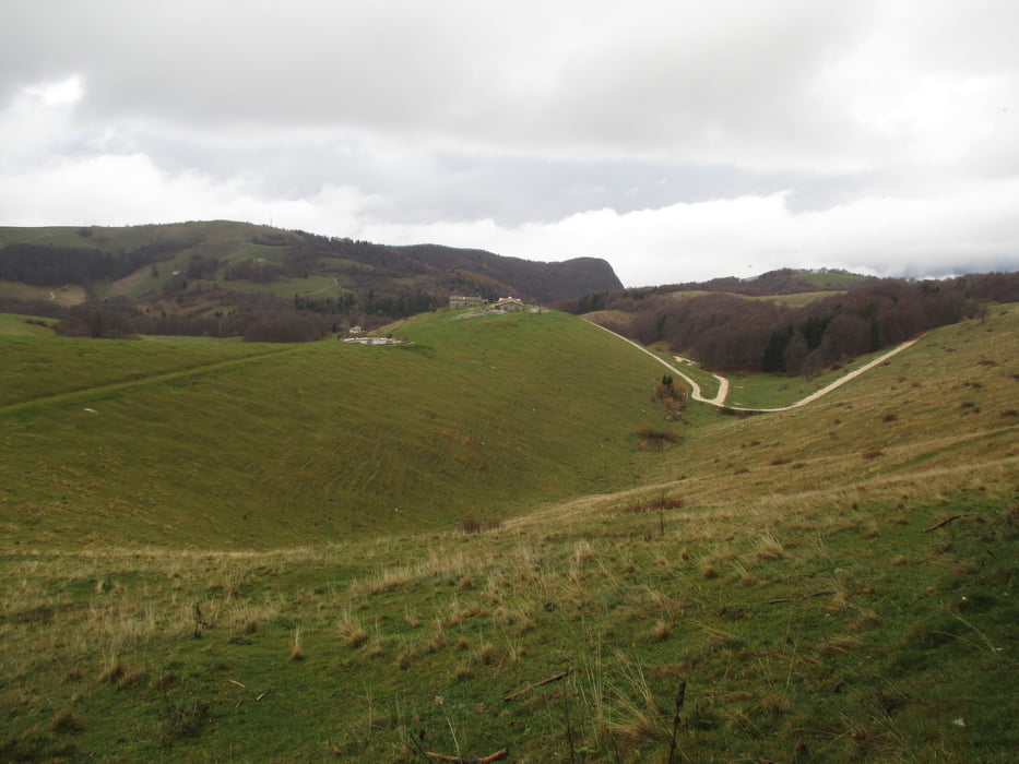
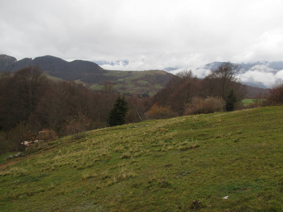
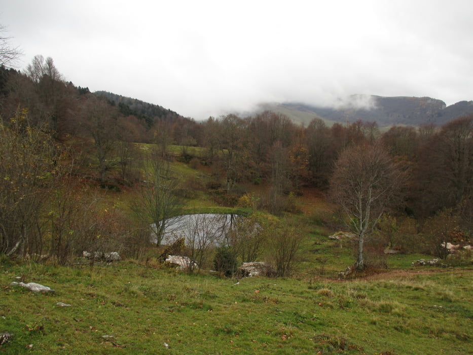
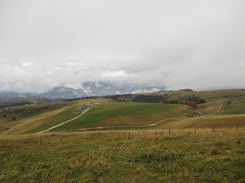
Escursione molto interessante nelle prealpi Veronesi. Il tempo novembrino ha limitato il belvedere delle vette dolomitiche, delle vallate della  zona e il piacere dell'escursione.

Further information at

https://www.magicoveneto.it/lessini/

Tour gallery

Tour map and elevation profile

  • Open Street Map
  • Google
Minimum height 1217 m Maximum height 1714 m Detailed view

More about the tour author

agosflavio
Member since 2013

Send private message

Comments

GPS tracks

Trackpoints
  • GPX / Garmin Map Source (gpx) download
  • TCX / Garmin Training Center® (tcx) download
  • CRS / Garmin Training Center® (crs) download
  • Google Earth (kml) download
  • G7ToWin (g7t) download
  • TTQV (trk) download
  • Overlay (ovl) download
  • Fugawi (txt) download
  • Kompass (DAV) Track (tk) download
  • Track data sheet (pdf) download
  • Original file of the author (gpx) download

More about the tour author

agosflavio
Member since 2013

Send private message
Share track
Add to my favorites
Remove from my favorites
Edit tags
My score
Rate
Track: Escursione su Monti Lessini (VR)
Type: Hiking
Distance: 15,4 km
Evaluated on:
Duration:
Day(s)
Hour(s)
Minute(s)
Score: Landscape Fun factor Fitness Technique