


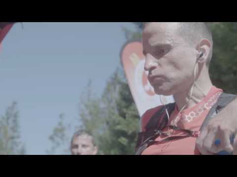
Der Lauf war ein Hammer.Tolles Wetter, Ausblicke von unglaulicher Schönheit! Mit einem Sonnenaufgang wie aus dem Bilderbuch! Start war 8 Uhr. Von Da ging es ein paar Meter durch Sonthofen und an einem kleinen See vorbei und ab in den Berg. Wir hatten sehr schönes Wetter, früh noch kühl, mittag so 25 Grad. Die Höhenmeter sind nicht ohne. Und der Einlauf, hinunter ins Kleinwalsertahl (Österreich) war ebenfalls ein Erlebnis. Von dort ging es wieder steil bergauf in Richtung Obersdorf, vorbei am Freibergsee, hinein in den Auslaufbereich der Ski-Schanze. Dort war der nächste Verpflegungspunkt eingerichtet. Sehr hilfsbereites Personal in allen Stationen. Nun wurde es richtig interessant, der Aufstieg von Obersdorf zum Sonnenkopf??? Das war schon Schwerstarbeit ;-). Dort angekommen und frisch gestärkt geht es nur noch bergab bis nach Sonthofen ins Ziel.
3.Platz, AK60, in 10:57h. Fast eine Stunde schneller als ich geplant hatte!
Ohne Krämpfe und ohne Blasen! Dank, 3g Salz vor dem Lauf und Wrigth-Socken! ;-). SUPER!
Tour gallery

Tour map and elevation profile
Minimum height 731 m
Maximum height 1703 m
More about the tour author
|
|
Perikles |
Comments

GPS tracks
Trackpoints-
GPX / Garmin Map Source (gpx) download
-
TCX / Garmin Training Center® (tcx) download
-
CRS / Garmin Training Center® (crs) download
-
Google Earth (kml) download
-
G7ToWin (g7t) download
-
TTQV (trk) download
-
Overlay (ovl) download
-
Fugawi (txt) download
-
Kompass (DAV) Track (tk) download
-
Track data sheet (pdf) download
-
Original file of the author (gpx) download
More about the tour author
|
|
Perikles |
Add to my favorites
Remove from my favorites
Edit tags
Open track
My score
Rate