


Das war ja mal ein außergewöhnliches Ziel: Farchant. Ich glaub da waren wir erst einmal - vermutlich weil sonst zu wenig Schnee ist.
Heute war es super. Morgens hat's noch geschneit, dann leider ein bisschen geregnet, aber dann gab's auch noch Sonne und tolle Aussicht auf Krämer, Alpspitze und Co. Spurgerät ist auch gefahren, so dass wir eine gute Spur hatten.
Sind bis Eschenlohe gelaufen und dort beim Antwort eingekehrt. Super Schnitzel gegessen.
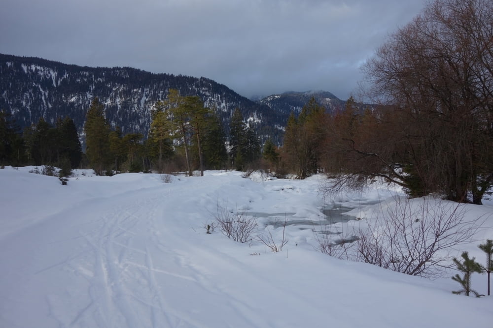
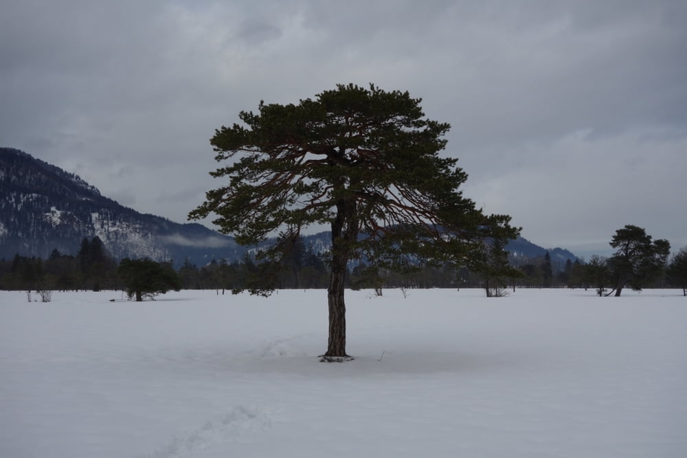
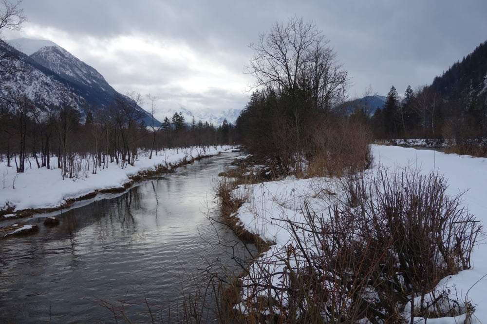
Die Loipe führt im Tal ziemlich eben durch "skandinavische" Landschaft. Mal Kiefernwald, mal Birken, mal Gräser und Wiesen. Dazu die Kulisse von Garmisch. Super Tag, den wir noch mit einer Abfahrt am Skilift Farchant gekrönt haben.
Und wie immer Top-Service von der Langlauf.company.
Heute war es super. Morgens hat's noch geschneit, dann leider ein bisschen geregnet, aber dann gab's auch noch Sonne und tolle Aussicht auf Krämer, Alpspitze und Co. Spurgerät ist auch gefahren, so dass wir eine gute Spur hatten.
Sind bis Eschenlohe gelaufen und dort beim Antwort eingekehrt. Super Schnitzel gegessen.
Die Loipe führt im Tal ziemlich eben durch "skandinavische" Landschaft. Mal Kiefernwald, mal Birken, mal Gräser und Wiesen. Dazu die Kulisse von Garmisch. Super Tag, den wir noch mit einer Abfahrt am Skilift Farchant gekrönt haben.
Und wie immer Top-Service von der Langlauf.company.
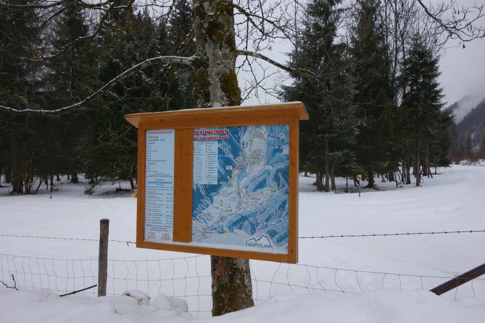
Further information at
https://www.farchant.de/erleben/winter/langlaufenTour gallery
Tour map and elevation profile
Minimum height 640 m
Maximum height 783 m
More about the tour author

|
smartandem |
Comments

Über die A95 Richtung Garmisch bis ans Autobahnende. Dann der Bundesstraße folgen bis Farchant. Dort Links fahren.
Parkplatz kostet soweit ich gesehen habe nichts. Loipengebühr wird auch nicht erhoben.
GPS tracks
Trackpoints-
GPX / Garmin Map Source (gpx) download
-
TCX / Garmin Training Center® (tcx) download
-
CRS / Garmin Training Center® (crs) download
-
Google Earth (kml) download
-
G7ToWin (g7t) download
-
TTQV (trk) download
-
Overlay (ovl) download
-
Fugawi (txt) download
-
Kompass (DAV) Track (tk) download
-
Track data sheet (pdf) download
-
Original file of the author (gpx) download
More about the tour author
|
|
smartandem |
Add to my favorites
Remove from my favorites
Edit tags
Open track
My score
Rate