

Vom Parkplatz auf der Forststraße nach ca. 50 m in einen schmalen Waldweg einschwenken. Der Weg führt im wesentlichen geradeaus in südöstlicher Richtung hinauf zur Höhenloipe. Auf dieser links und dann rechts zum Landshuter Haus (2 Std.).
Von hier der Beschilderung Geißkopf hinauf zum Aussichtsturm und bewirtschafteter Hütte. (1/2 Std.). Richtung Westen hinunter zur Loipe und auf dieser rechts weiter bis zur Wegkreuzung. Der Weg 4 führt vorbei am Einödriegel, quert die Skipiste und immer geradeaus zu einer markanten Kreuzung. Kurz abwärts und dann links zur Langlaufloipe Kleinried. Auf dieser zurück zum Ausgangspunkt.
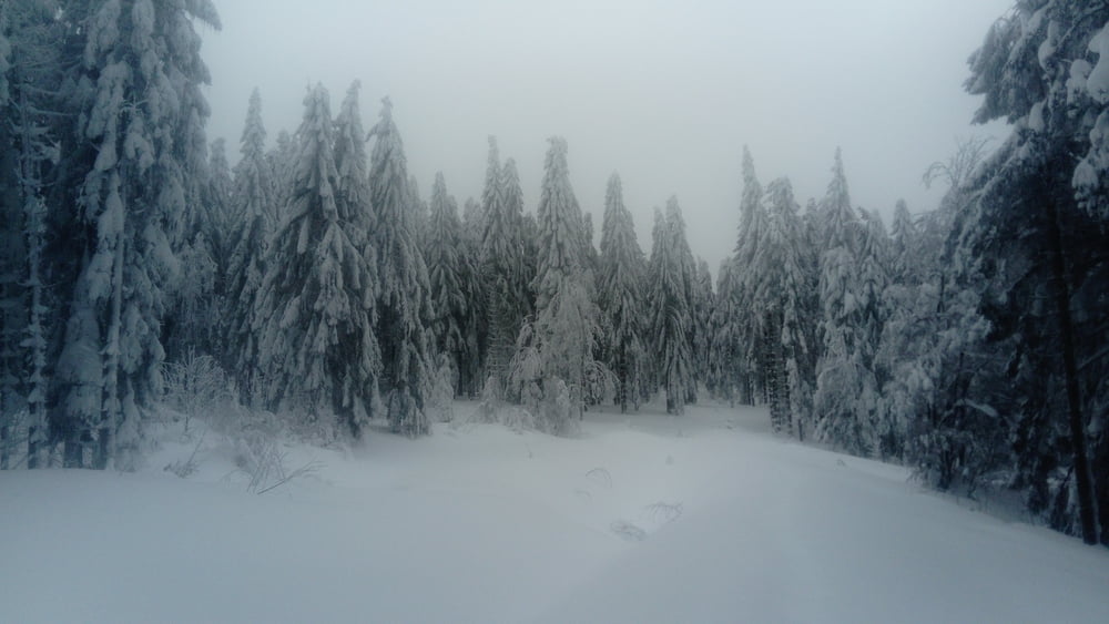
Hinweis: Die Loipe Kleinried war heute wegen zahlreich umgefallener Bäume nicht gespurt.
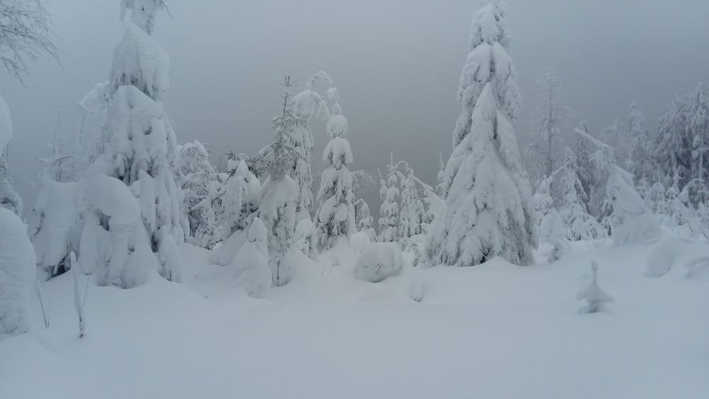
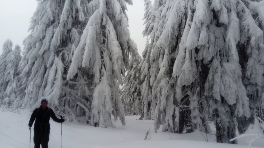
Tour gallery
Tour map and elevation profile
Minimum height 780 m
Maximum height 1097 m
More about the tour author

|
JoHangler |
Comments

Auf der A3 bis Deggendorf, hier auf die B11 bis Gotteszell, dann nach Zachenberg und weiter nach Kleinried. Geräumter Parkplatz am Ende der Asphaltstraße.
GPS tracks
Trackpoints-
GPX / Garmin Map Source (gpx) download
-
TCX / Garmin Training Center® (tcx) download
-
CRS / Garmin Training Center® (crs) download
-
Google Earth (kml) download
-
G7ToWin (g7t) download
-
TTQV (trk) download
-
Overlay (ovl) download
-
Fugawi (txt) download
-
Kompass (DAV) Track (tk) download
-
Track data sheet (pdf) download
-
Original file of the author (gpx) download
More about the tour author
|
|
JoHangler |
Add to my favorites
Remove from my favorites
Edit tags
Open track
My score
Rate