Login

Forgot your login?

Cookies have to be accepted!
Your browser's cookie functionality is disabled. Please enable this functionality.

Not a member yet?

Register now
Login

Available for registred users only

Log in to use this feature.

Forgot your login?

Cookies have to be accepted!
Your browser's cookie functionality is disabled. Please enable this functionality.

Not a member yet?

Register now
Filter
Categories
Advanced filters
  • Distance (km)
  • Height
Save filters Reset filter

TrackRank

QRCode

Technical data

Distance15,1 km Height1343 m Way down1357 m Duration02:20 h:m Date10.02.2019
Scores Author Landscape Fun factor Fitness Technique

Statistics

262 Views Scores 21 Downloads Average
Rate
  • Track data sheet
  • Directions
  • Downloads
Vom Pfaffensattel aufs Stuhleck, die Piste hinunter zum Einstieg Kaltenbachgraben, dann mit dem Lift ca 500 hm rauf, nochmal anfellen und abseits der Piste wieder rauf zum Günther Haus. Da eingekehrt in der Hoffnung, dass es auffirnt. Leider nein, die Abfahrt zurück zum Auto war trotzdem ok.

Tour gallery

Tour map and elevation profile

  • Open Street Map
  • Google
Minimum height 893 m Maximum height 1832 m Detailed view

More about the tour author

mitter
Member since 2008

Send private message

Comments

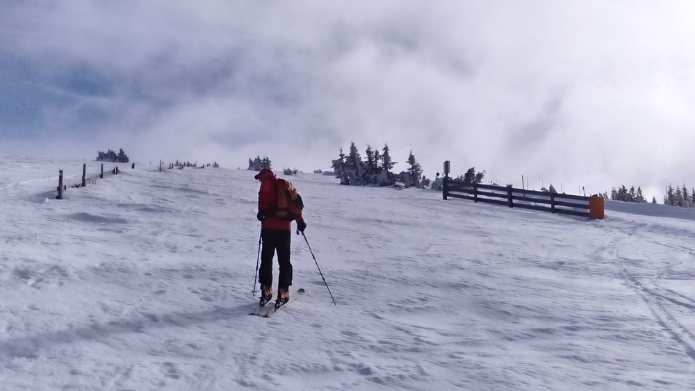
Start vom Pfaffensattel.

GPS tracks

Trackpoints
  • GPX / Garmin Map Source (gpx) download
  • TCX / Garmin Training Center® (tcx) download
  • CRS / Garmin Training Center® (crs) download
  • Google Earth (kml) download
  • G7ToWin (g7t) download
  • TTQV (trk) download
  • Overlay (ovl) download
  • Fugawi (txt) download
  • Kompass (DAV) Track (tk) download
  • Track data sheet (pdf) download
  • Original file of the author (gpx) download

More about the tour author

mitter
Member since 2008

Send private message
Share track
Add to my favorites
Remove from my favorites
Edit tags
My score
Rate
Track: Stuhleck 190208
Type: Ski touring
Distance: 15,1 km
Evaluated on:
Duration:
Day(s)
Hour(s)
Minute(s)
Score: Landscape Fun factor Fitness Technique