Login

Forgot your login?

Cookies have to be accepted!
Your browser's cookie functionality is disabled. Please enable this functionality.

Not a member yet?

Register now
Login

Available for registred users only

Log in to use this feature.

Forgot your login?

Cookies have to be accepted!
Your browser's cookie functionality is disabled. Please enable this functionality.

Not a member yet?

Register now
Filter
Categories
Advanced filters
  • Distance (km)
  • Height
Save filters Reset filter

TrackRank

QRCode

Technical data

Distance45,2 km Height626 m Way down631 m Duration03:22 h:m Date10.02.2019
Scores Author Landscape Fun factor Fitness Technique

Statistics

199 Views Scores 15 Downloads Average
Rate
  • Track data sheet
  • Directions
  • Downloads
Nach der Sulzer Höhe aufgrund vom Tiefschnee   auf die Kaltenleutgebenstraße abgebogen. In Kaltenleutgeben  neuen Weg Rg Teufelsteinhütte entdeckt. Dann Privatstraße 

Rg Perchtoldsdorf. Keine schlechte Variante, die ich noch näher auskundschaften muss.

Die Wegbeschaffenheit ist Anfang Feber natürlich noch nicht gut: eisig und matschig, daher technisch und konditionell einigermaßen anspruchsvoll.
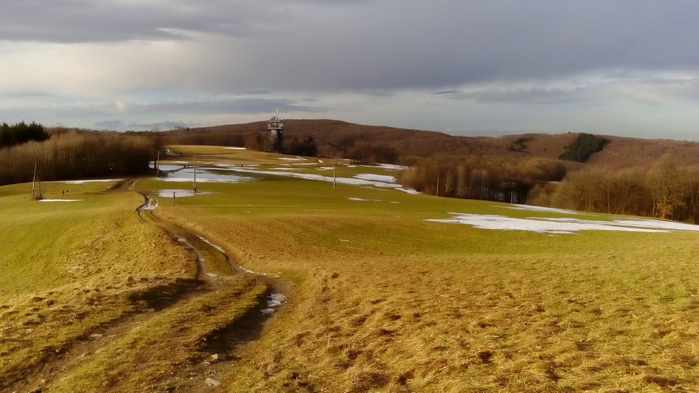
Tour gallery

Tour map and elevation profile

  • Open Street Map
  • Google
Minimum height 187 m Maximum height 623 m Detailed view

More about the tour author

mitter
Member since 2008

Send private message

Comments

Start in Meidling Nähe Bahnhof.

GPS tracks

Trackpoints
  • GPX / Garmin Map Source (gpx) download
  • TCX / Garmin Training Center® (tcx) download
  • CRS / Garmin Training Center® (crs) download
  • Google Earth (kml) download
  • G7ToWin (g7t) download
  • TTQV (trk) download
  • Overlay (ovl) download
  • Fugawi (txt) download
  • Kompass (DAV) Track (tk) download
  • Track data sheet (pdf) download
  • Original file of the author (gpx) download

More about the tour author

mitter
Member since 2008

Send private message
Share track
Add to my favorites
Remove from my favorites
Edit tags
My score
Rate
Track: Kaltenleutgeben neu 190209
Type: Mountain bike
Distance: 45,2 km
Evaluated on:
Duration:
Day(s)
Hour(s)
Minute(s)
Score: Landscape Fun factor Fitness Technique