


Vom Parkplatz entweder entlang des Sommerweges oder auf der Forststraße hoch zur Sattelhalt-Jagdhütte (1 1/4 Std.). Hinter der Hütte links weiter auf der Almstraße hinauf zur Gradnalm (3/4 Std.).
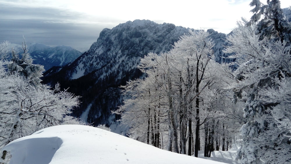
Jetzt schräg hinauf zum Sattel zwischen Pfannstein und Rauer Kaibling. Links über den kupierten Kamm in wenigen Minuten zum höchsten Punkt (1/2 Std.).
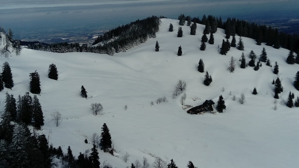
Abstieg wie auf dem Aufstiegsweg.
Tour gallery

Tour map and elevation profile
Minimum height 587 m
Maximum height 1388 m
More about the tour author

|
JoHangler |
Comments

A9 Pyhrnautobahn Abfahrt Kirchdorf. Auf der B138 durch Kirchdorf und Micheldorf.
Ein Wegweiser zeigt die Abzweigung Kremsursprung/Gradnalm an. Der Straße bis zum Ende folgen. Einige geräumte Parkplätze.
GPS tracks
Trackpoints-
GPX / Garmin Map Source (gpx) download
-
TCX / Garmin Training Center® (tcx) download
-
CRS / Garmin Training Center® (crs) download
-
Google Earth (kml) download
-
G7ToWin (g7t) download
-
TTQV (trk) download
-
Overlay (ovl) download
-
Fugawi (txt) download
-
Kompass (DAV) Track (tk) download
-
Track data sheet (pdf) download
-
Original file of the author (gpx) download
More about the tour author
|
|
JoHangler |
Add to my favorites
Remove from my favorites
Edit tags
Open track
My score
Rate