Login

Forgot your login?

Cookies have to be accepted!
Your browser's cookie functionality is disabled. Please enable this functionality.

Not a member yet?

Register now
Login

Available for registred users only

Log in to use this feature.

Forgot your login?

Cookies have to be accepted!
Your browser's cookie functionality is disabled. Please enable this functionality.

Not a member yet?

Register now
Filter
Categories
Advanced filters
  • Distance (km)
  • Height
Save filters Reset filter

TrackRank

QRCode

Technical data

Distance11,5 km Height397 m Way down407 m Duration02:19 h:m Date24.02.2019
Scores Author Landscape Fun factor Fitness Technique

Statistics

405 Views Scores 6 Downloads Average
Rate
  • Track data sheet
  • Directions
  • Downloads
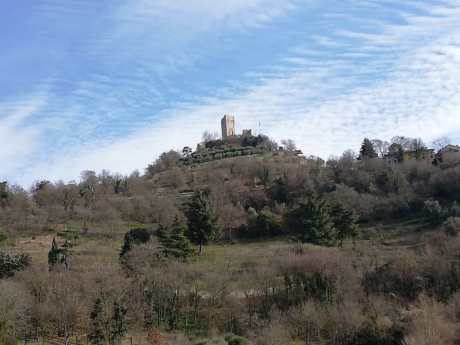
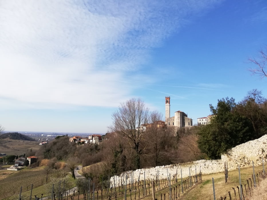
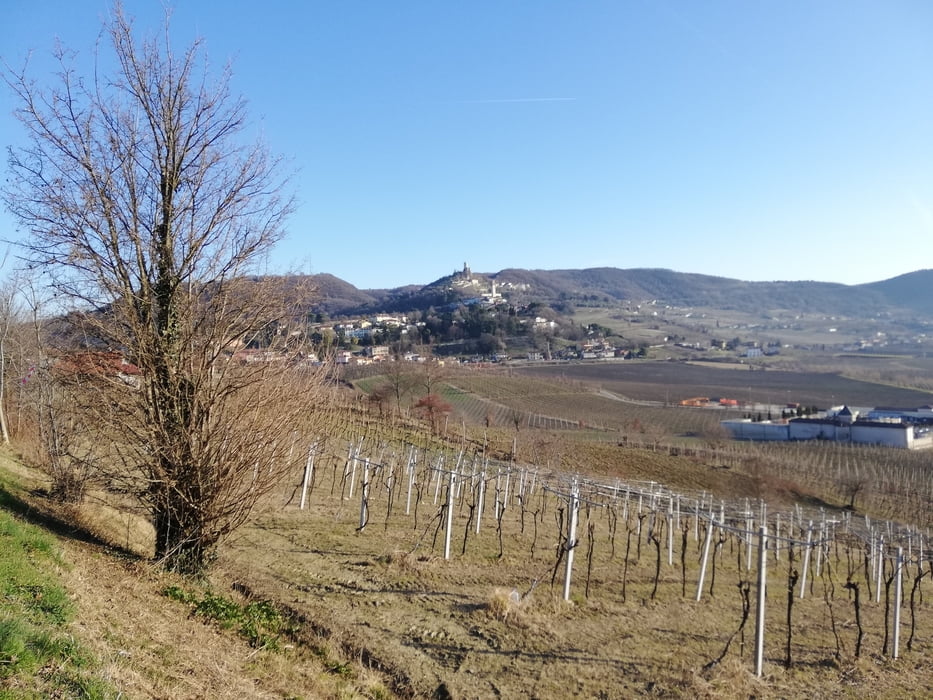
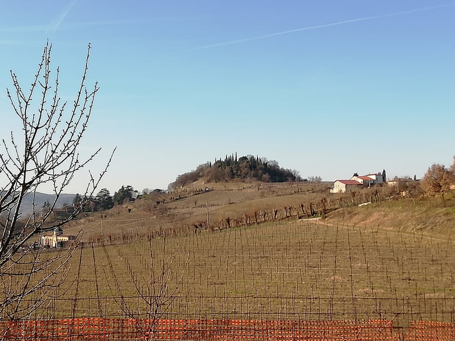
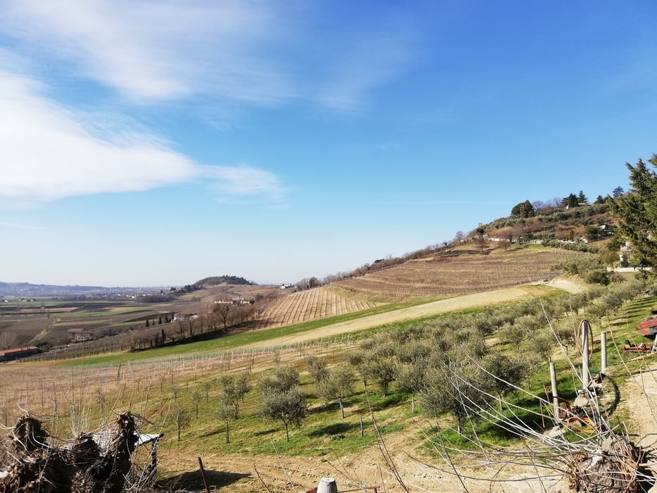
Ottima marcia nei colli Berici in località Brendola nel Vicentino. Percorso impegnativo ma non difficile.
Ottima giornata quasi primaverile.

Further information at

https://it.wikivoyage.org/wiki/Brendola

Tour gallery

Tour map and elevation profile

  • Open Street Map
  • Google
Minimum height 43 m Maximum height 244 m Detailed view

More about the tour author

agosflavio
Member since 2013

Send private message

Comments

GPS tracks

Trackpoints
  • GPX / Garmin Map Source (gpx) download
  • TCX / Garmin Training Center® (tcx) download
  • CRS / Garmin Training Center® (crs) download
  • Google Earth (kml) download
  • G7ToWin (g7t) download
  • TTQV (trk) download
  • Overlay (ovl) download
  • Fugawi (txt) download
  • Kompass (DAV) Track (tk) download
  • Track data sheet (pdf) download
  • Original file of the author (gpx) download

More about the tour author

agosflavio
Member since 2013

Send private message
Share track
Add to my favorites
Remove from my favorites
Edit tags
My score
Rate
Track: Marcia La Brendolana 2019 a Brendola (VI)
Type: Mountain hiking
Distance: 11,5 km
Evaluated on:
Duration:
Day(s)
Hour(s)
Minute(s)
Score: Landscape Fun factor Fitness Technique