Login

Forgot your login?

Cookies have to be accepted!
Your browser's cookie functionality is disabled. Please enable this functionality.

Not a member yet?

Register now
Login

Available for registred users only

Log in to use this feature.

Forgot your login?

Cookies have to be accepted!
Your browser's cookie functionality is disabled. Please enable this functionality.

Not a member yet?

Register now
Filter
Categories
Advanced filters
  • Distance (km)
  • Height
Save filters Reset filter

TrackRank

QRCode

Technical data

Distance8,3 km Height504 m Way down494 m Duration00:00 h:m Date23.02.2019
Scores Author Landscape Fun factor Fitness Technique

Statistics

434 Views Scores 11 Downloads Average
Rate
  • Track data sheet
  • Directions
  • Downloads

Vom Parkplatz Oberschwarzenberg

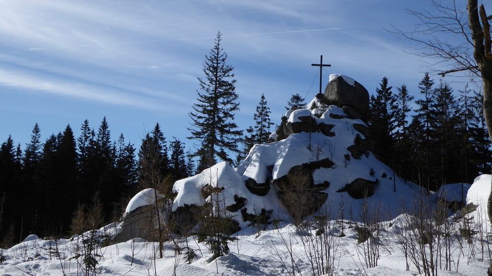
Aufstieg über die Teufelsschüssel zum Plöckenstein

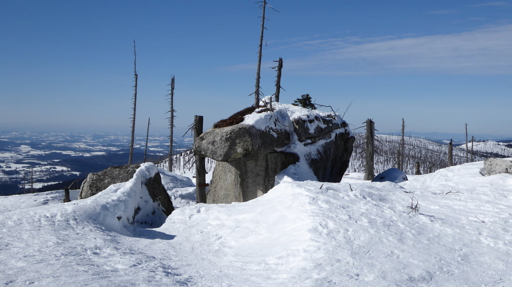
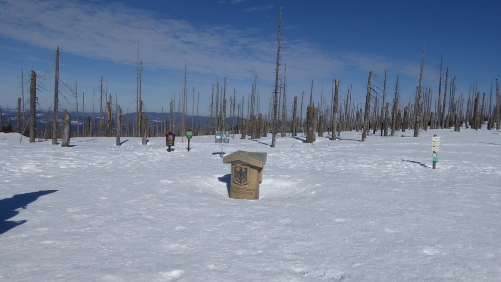
weiter am Böhmerwaldhauptkamm über den Hufberg zum Dreiländereck

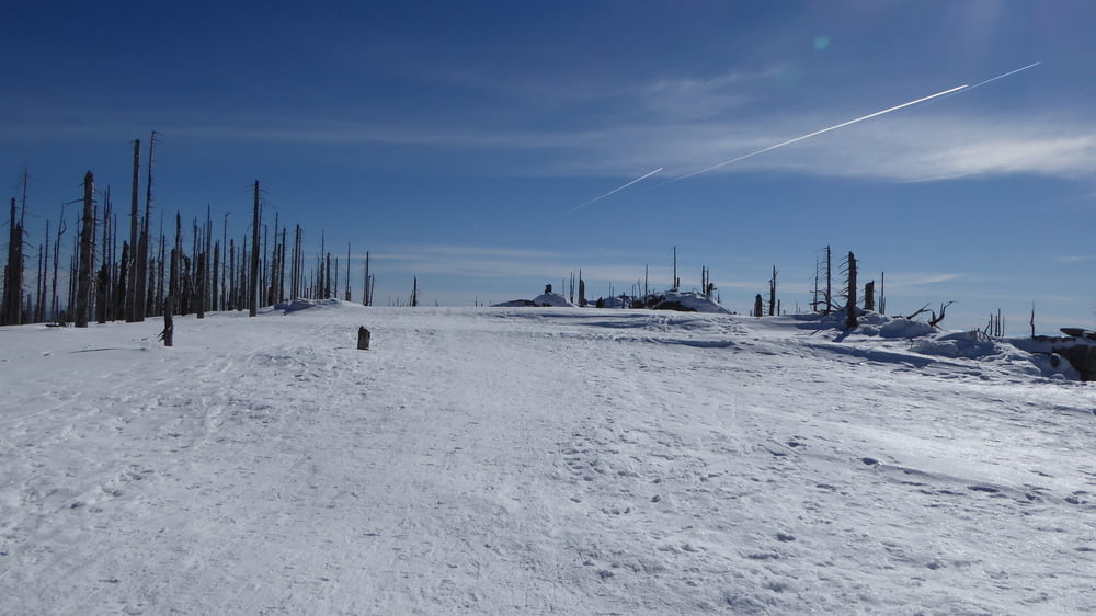
Abstieg in Falllinie retour zum Parkplatz Oberschwarzenberg

Tour gallery

Tour map and elevation profile

  • Open Street Map
  • Google
Minimum height 935 m Maximum height 1407 m Detailed view

More about the tour author

Hoar
Member since 2009

Send private message

Comments

GPS tracks

Trackpoints
  • GPX / Garmin Map Source (gpx) download
  • TCX / Garmin Training Center® (tcx) download
  • CRS / Garmin Training Center® (crs) download
  • Google Earth (kml) download
  • G7ToWin (g7t) download
  • TTQV (trk) download
  • Overlay (ovl) download
  • Fugawi (txt) download
  • Kompass (DAV) Track (tk) download
  • Track data sheet (pdf) download
  • Original file of the author (gpx) download

More about the tour author

Hoar
Member since 2009

Send private message
Share track
Add to my favorites
Remove from my favorites
Edit tags
My score
Rate
Track: Plöckenstein Teufelsschüssel Hufberg Dreiländereck
Type: Snowshoeing
Distance: 8,3 km
Evaluated on:
Duration:
Day(s)
Hour(s)
Minute(s)
Score: Landscape Fun factor Fitness Technique