
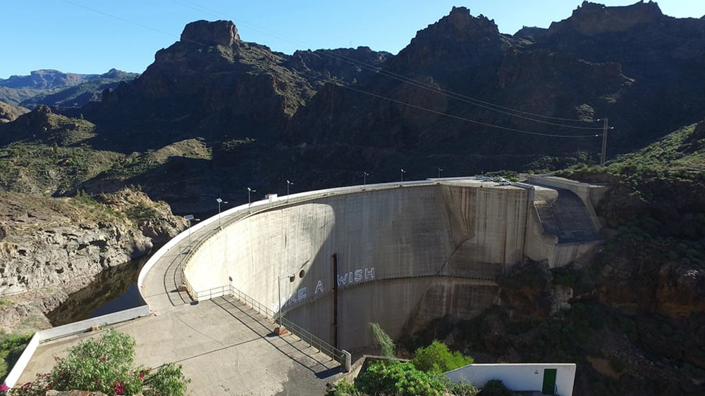

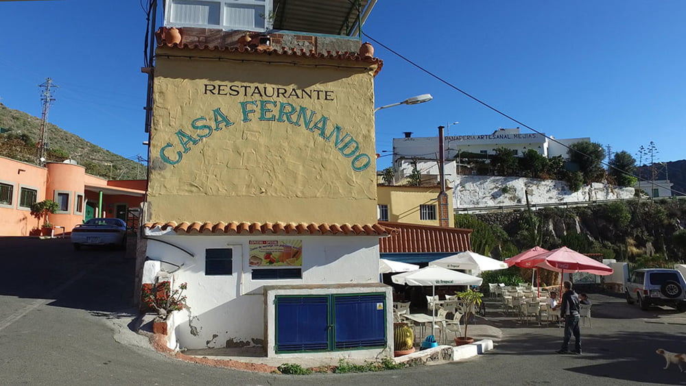
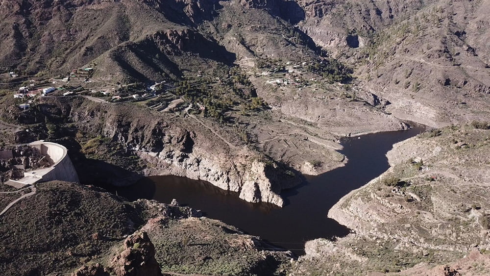
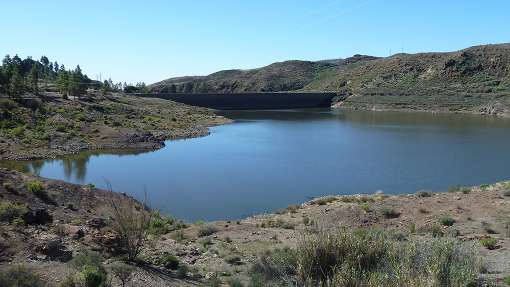
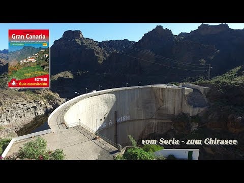
Von der Casa Fernando gehen wir zur Staumauer hinunter und queren diese. Hinter dem Staudamm geht es zunächst gemächlich dann aber steil hinauf auf die Hochebene Lomo de La Palma. Zur rechten zeigt sich bereits der See Chira zum ersten Mal. Wir passieren die Ortschaft Cercados de Arana und laufen am Östlichen Ufer des Sees vorbei. Auch hier queren wir die Staumauer und erreich bald darauf den Hinweg dem wir bis zum Ausgangspunkt folgen.
Tour gallery
Tour map and elevation profile
Minimum height 99999 m
Maximum height -99999 m
More about the tour author
|
|
schleidy |
Comments

GPS tracks
Trackpoints-
GPX / Garmin Map Source (gpx) download
-
TCX / Garmin Training Center® (tcx) download
-
CRS / Garmin Training Center® (crs) download
-
Google Earth (kml) download
-
G7ToWin (g7t) download
-
TTQV (trk) download
-
Overlay (ovl) download
-
Fugawi (txt) download
-
Kompass (DAV) Track (tk) download
-
Track data sheet (pdf) download
-
Original file of the author (gpx) download
More about the tour author
|
|
schleidy |
Add to my favorites
Remove from my favorites
Edit tags
Open track
My score
Rate