


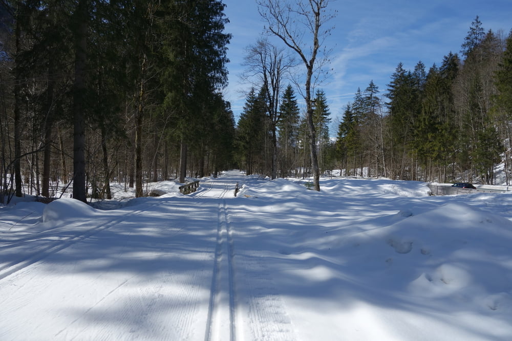
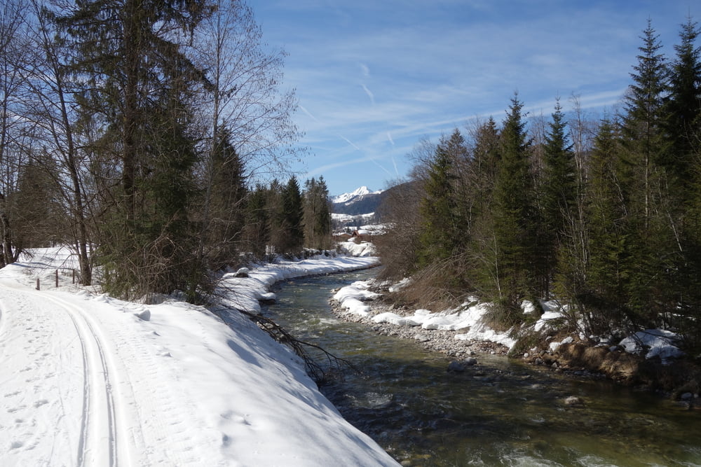
Zurück in den Winter, aber Frühlingstemperaturen. In Reit im Winkl waren noch alle Loipen gespurt. Morgens feste Loipe, die noch gut lief. Daher ging's bis zum Weitsee. Dort konnten wir zwar den Bach nicht queren, aber die Loipe geht ja eh zum Seegatterl zurück. Deshalb sind wir auf der gleichen Strecke zurückgefahren. Eingekehrt in der Seegatterlalm. Gut!
Zurück war die Loipe weich, aber es geht ja bergab. Haben dann noch einmal die Blindau-Runde drangehängt. Mit 29,8 wollten wir dann auch nicht den Tag beenden und sind die Wellness-Loipe gefahren, damit über 30 km werden :-).
Sonne hatte Thomas von der Langlauf.company bestellt und geliefert. Toller Langlauftag. Danke
Further information at
http://www.reitimwinkl.de/winterurlaub/skigebiet-bayern-schneeberichtTour gallery
Tour map and elevation profile
Minimum height 657 m
Maximum height 802 m
More about the tour author

|
smartandem |
Comments

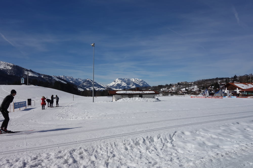
Wie so oft waren wir mit dem Bus der Langlauf.company als Tagesfahrer unterwegs. Wir sind über die A8 bis Bernau und dann über Markwartstein nach Reit im Winkl. Dort haben wir am Theresienhof geparkt.
Am Langlaufstadion kann man auch als Tagesgast parken. Obs Gebühr kostet weiß ich nicht. Loipe kostet nix.
GPS tracks
Trackpoints-
GPX / Garmin Map Source (gpx) download
-
TCX / Garmin Training Center® (tcx) download
-
CRS / Garmin Training Center® (crs) download
-
Google Earth (kml) download
-
G7ToWin (g7t) download
-
TTQV (trk) download
-
Overlay (ovl) download
-
Fugawi (txt) download
-
Kompass (DAV) Track (tk) download
-
Track data sheet (pdf) download
-
Original file of the author (gpx) download
More about the tour author
|
|
smartandem |
Add to my favorites
Remove from my favorites
Edit tags
Open track
My score
Rate