


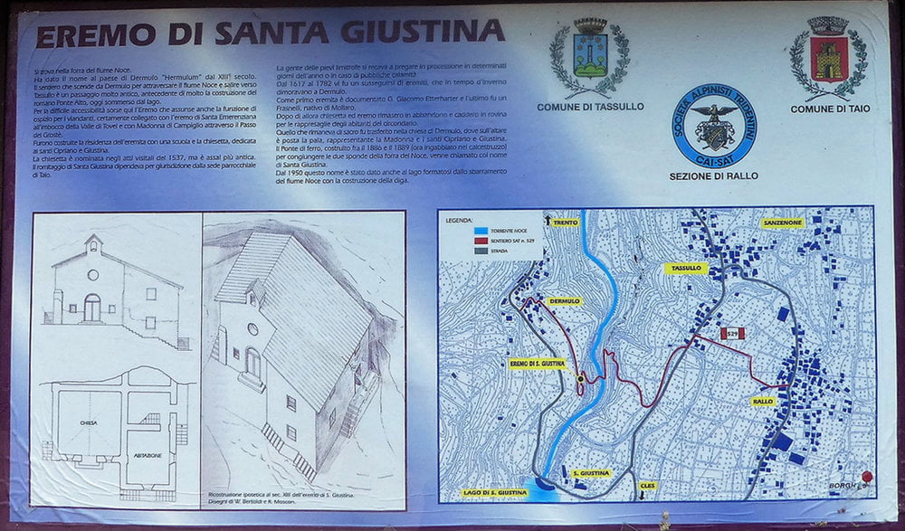
Dieser Rundwanderung zur Einsiedelei Santa Giustina beginnt beim Bahnhof in Tassullo.
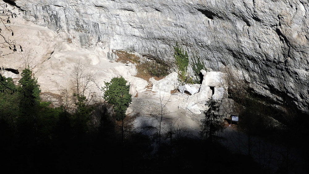
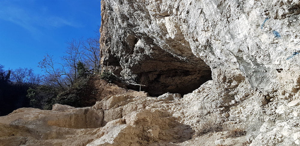
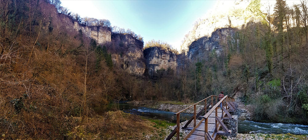
Zunächst wandert man ein kleines Stück der Bahnstrecke und Apfelhainen entlang , dann rechts hinunter bis man zu einem steilen aber gut ausgebauten und gesicherten Weg kommt. Dieser führt hinunter in die Schlucht . Unten angelangt überquert man dann auf einer Brücke den Fluss Noce. Noch ein Stück bergauf und schon ist man bei der Ruine der Einsiedelei Santa Giustina angelangt.
Nach Besichtigung der Eremo Santa Guistina gehts dann wieder nach oben, wo man schließlich nach Überquerung der Autobrücke links durch das Firmengelände in Richtung Bahnhof geht und der Rundkurs beendet wird.
Further information at
https://www.satcom.at/gps-wanderungen-2/Tour gallery
Tour map and elevation profile
Minimum height 438 m
Maximum height 546 m
More about the tour author
|
|
GarminSalzburg |
Comments

Bei Bahnhof von Tassullo sind Parkplätze vorhanden. Dort also Auto stehen lassen und Richtung Ort gehen. Gleich nach der Bahnunterführung links , dort beginnt dann der Rundweg.
GPS tracks
Trackpoints-
GPX / Garmin Map Source (gpx) download
-
TCX / Garmin Training Center® (tcx) download
-
CRS / Garmin Training Center® (crs) download
-
Google Earth (kml) download
-
G7ToWin (g7t) download
-
TTQV (trk) download
-
Overlay (ovl) download
-
Fugawi (txt) download
-
Kompass (DAV) Track (tk) download
-
Track data sheet (pdf) download
-
Original file of the author (gpx) download
More about the tour author
|
|
GarminSalzburg |
Add to my favorites
Remove from my favorites
Edit tags
Open track
My score
Rate