Login

Forgot your login?

Cookies have to be accepted!
Your browser's cookie functionality is disabled. Please enable this functionality.

Not a member yet?

Register now
Login

Available for registred users only

Log in to use this feature.

Forgot your login?

Cookies have to be accepted!
Your browser's cookie functionality is disabled. Please enable this functionality.

Not a member yet?

Register now
Filter
Categories
Advanced filters
  • Distance (km)
  • Height
Save filters Reset filter

TrackRank

QRCode

Technical data

Distance14,9 km Height238 m Way down265 m Duration00:00 h:m Date31.03.2019
Scores Author Landscape Fun factor Fitness Technique

Statistics

238 Views Scores 10 Downloads Average
Rate
  • Track data sheet
  • Directions
  • Downloads

Wandern in Frankens schönster Weingegend!  Aus dem Rother Wanderbuch: Weinwandern "Fränkisches Weinland mit Taubertal"_ Nr.24 | Kitzingen nach Sulzfeld

Start im Umfeld vom Bahnhof Kitzingen.

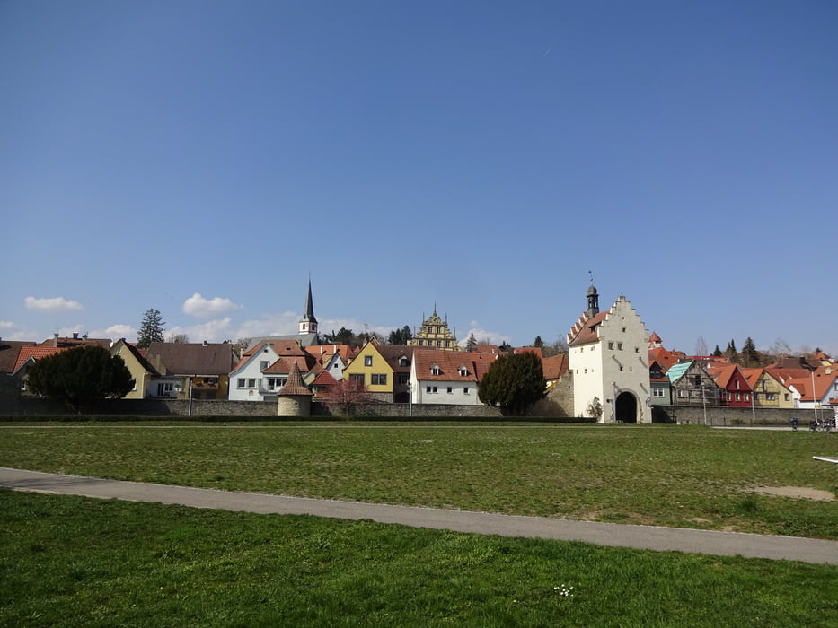
Schöne Wanderung***** mit tollen Ausblicken auf den Main!

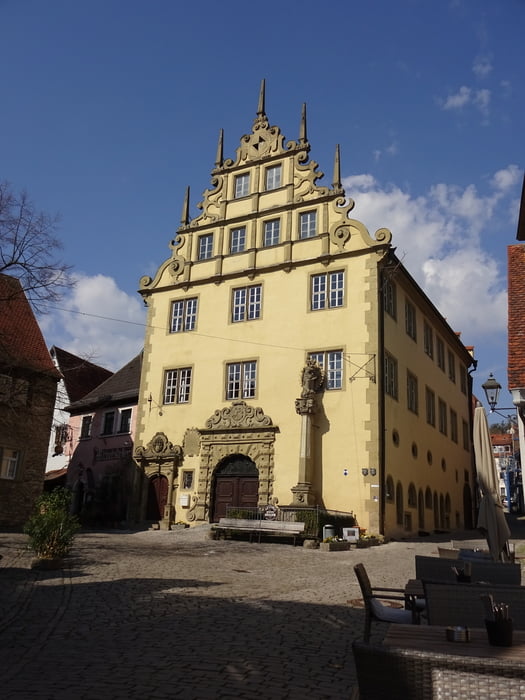
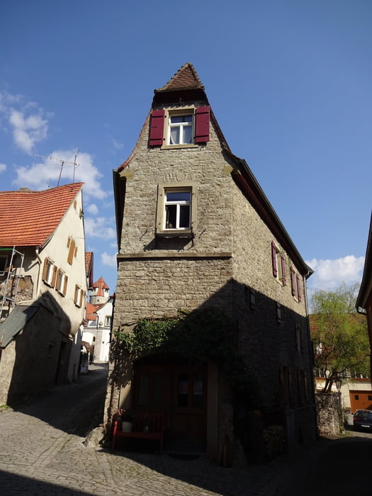
Der Ort Sulzfeld ist sehr sehenswert ! Hier muss man einfach eine kleine Pause mit einem guten Schoppen einlegen. 

Im Ort wurde 1953 die Meterbratrwurst erfunden ;-)


Viel Spaß!

Tour gallery

Tour map and elevation profile

  • Open Street Map
  • Google
Minimum height 173 m Maximum height 281 m Detailed view

More about the tour author

FLU
Member since 2009

Send private message

Comments

GPS tracks

Trackpoints
  • GPX / Garmin Map Source (gpx) download
  • TCX / Garmin Training Center® (tcx) download
  • CRS / Garmin Training Center® (crs) download
  • Google Earth (kml) download
  • G7ToWin (g7t) download
  • TTQV (trk) download
  • Overlay (ovl) download
  • Fugawi (txt) download
  • Kompass (DAV) Track (tk) download
  • Track data sheet (pdf) download
  • Original file of the author (gpx) download

More about the tour author

FLU
Member since 2009

Send private message
Share track
Add to my favorites
Remove from my favorites
Edit tags
My score
Rate
Track: Kitzingen_Sulzfeld am Main
Type: Hiking
Distance: 14,9 km
Evaluated on:
Duration:
Day(s)
Hour(s)
Minute(s)
Score: Landscape Fun factor Fitness Technique