


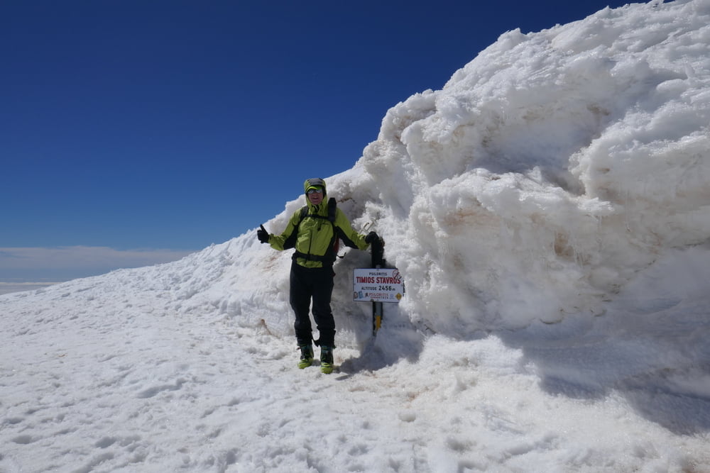
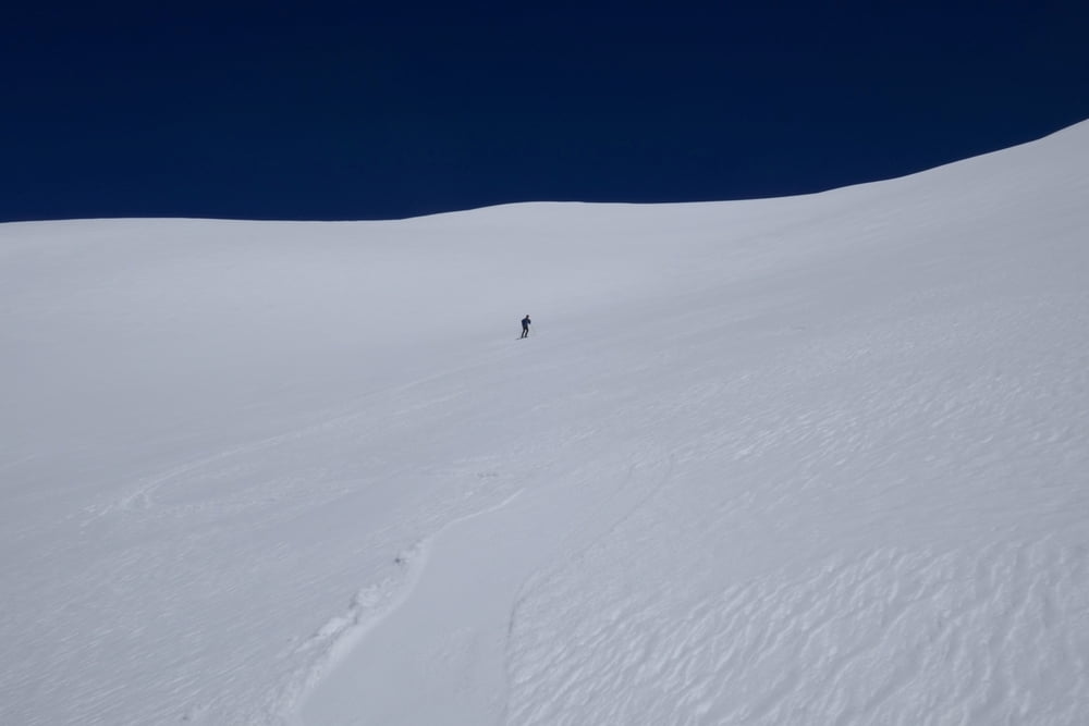
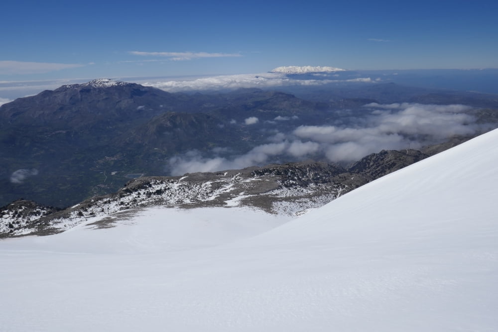
Vom Parkplatz über mehrere kleinere Rinnen zum großen Kar zwischen Psiloritis und Stolistra queren. Dieses schier endlos hinauf bis zur Scharte zwischen Vorgipfel und Gipfel. Nun über den Rücken nach Süden bis zum Psiloritis Hauptgipfel (Timios Stavros) aufsteigen.
Abfahrt über idealhänge bis zur Straße, dan der Straße entlang zurück zum Auto.
Abhängig von der Schneegrenze kann unser Ausgangspunkt gewählt werden - oder bei weniger Schnee weiter südlich auf ca. 1500 m gefahren und durch die etwas flachere südlichere Rinne aufgestiegen werden.
Ein Alternativer Aufstieg führt über die Pirinos Hütte. Ausgangspunkt Zufahrt zur Hütte von Kouroutes aus.
Tour gallery
Tour map and elevation profile
Minimum height 1356 m
Maximum height 2447 m
More about the tour author

|
Gi |
Comments

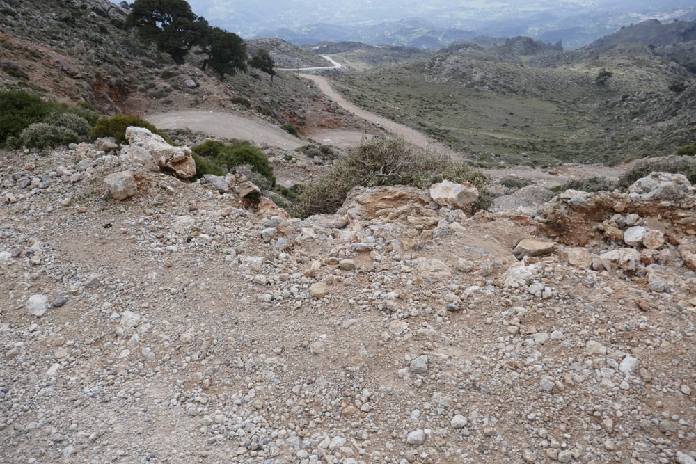
Auf der Psiloritis-Westseite, etwas nördlich von Platania eine kleine Straße hinauf in Richtung von Antennenmasten auf dem Hügel Asfedilides. Bald wird die Straße ungeteert, Autos mit hoher Bodenfreiheit sind hier sehr ratsam! Die Staße in Richtung Agios Myron weiterfahren bis zur Schneegrenze.
GPS tracks
Trackpoints-
GPX / Garmin Map Source (gpx) download
-
TCX / Garmin Training Center® (tcx) download
-
CRS / Garmin Training Center® (crs) download
-
Google Earth (kml) download
-
G7ToWin (g7t) download
-
TTQV (trk) download
-
Overlay (ovl) download
-
Fugawi (txt) download
-
Kompass (DAV) Track (tk) download
-
Track data sheet (pdf) download
-
Original file of the author (gpx) download
More about the tour author
|
|
Gi |
Add to my favorites
Remove from my favorites
Edit tags
Open track
My score
Rate