


Vom Englbergweg nach Berndorf, weiter nach Salzdorf und zurück über den Bründlweg zum Englbergweg.
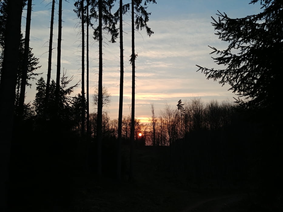
Der Weg führt viel durch den Wald auf einfachen Wegen. Eine gewisse Trittfestigkeit wird benoetigt.
In Berndorf ist ein schönes Wirtshaus mit Biergarten zum Einkehren.
In Salzdorf kommt man an der Milchtankstelle Steckenbiller vorbei, wo es ausser Milch noch andere Landwirtschaftliche Produkte aus dem Automaten gibt.
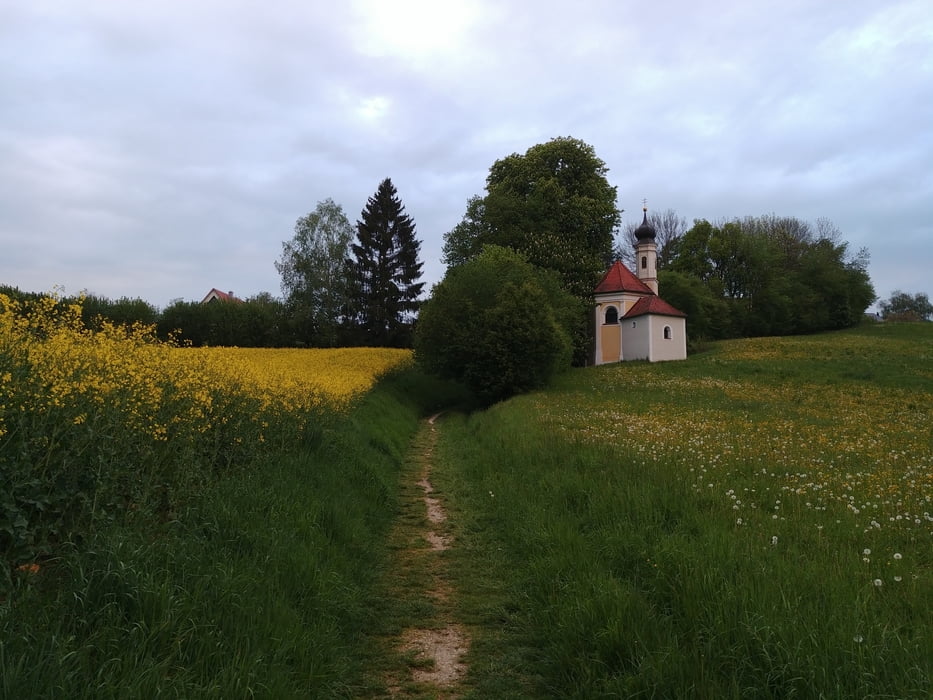
Am Weg liegt auch die Walfahrtskirche Maria Bründl
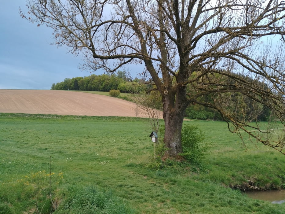
Tour gallery

Tour map and elevation profile
Minimum height 467 m
Maximum height 552 m
More about the tour author

|
Setio |
Comments

GPS tracks
Trackpoints-
GPX / Garmin Map Source (gpx) download
-
TCX / Garmin Training Center® (tcx) download
-
CRS / Garmin Training Center® (crs) download
-
Google Earth (kml) download
-
G7ToWin (g7t) download
-
TTQV (trk) download
-
Overlay (ovl) download
-
Fugawi (txt) download
-
Kompass (DAV) Track (tk) download
-
Track data sheet (pdf) download
-
Original file of the author (gpx) download
More about the tour author
|
|
Setio |
Add to my favorites
Remove from my favorites
Edit tags
Open track
My score
Rate