


Unser Tour führt uns von St. Johann auf der Litzelfeldner Straße auf der linken Seite der Fliesrichtung nach Kirchdorf. Durch den Ortskern weiter auf der Wenger Straße bis nach Erpfendorf. Am Ende der Straße biegen wir rechts ab auf die L39, Erpfendorfer Landestraße, und nach 200 Meter wieder rechts auf den Radweg der sich auf dem Achendamm befindet zurück Richtung St.Johann.
Auf höhe der Further Brücke links den Leukental Weg bis zur Bundestraße 178 die wir überqueren und dem Moosner Weg und dem Mitterndorfer Weg bis ins Zentrum von St. Johann.
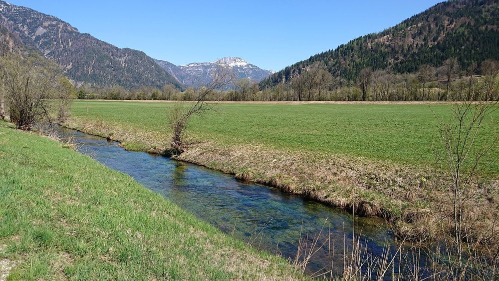
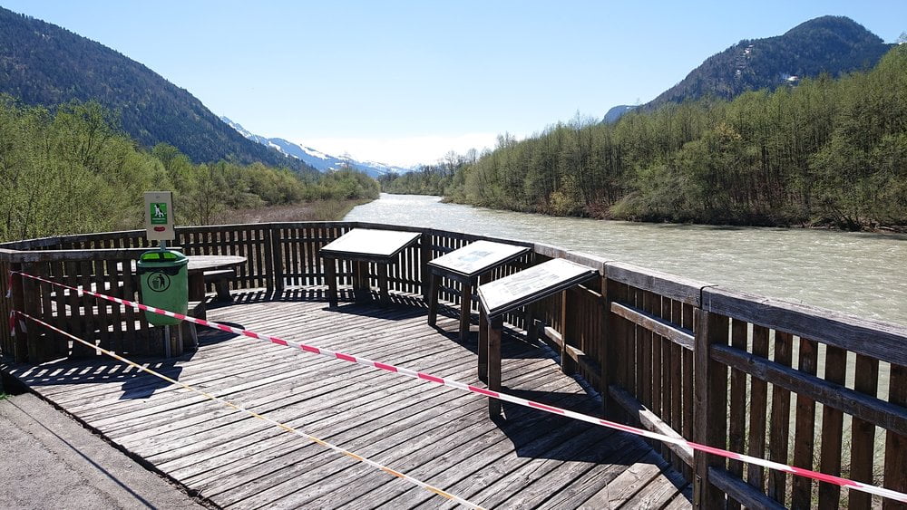
Tour gallery
Tour map and elevation profile
Minimum height 582 m
Maximum height 639 m
More about the tour author
|
|
hetzenauerm |
Comments

GPS tracks
Trackpoints-
GPX / Garmin Map Source (gpx) download
-
TCX / Garmin Training Center® (tcx) download
-
CRS / Garmin Training Center® (crs) download
-
Google Earth (kml) download
-
G7ToWin (g7t) download
-
TTQV (trk) download
-
Overlay (ovl) download
-
Fugawi (txt) download
-
Kompass (DAV) Track (tk) download
-
Track data sheet (pdf) download
-
Original file of the author (gpx) download
More about the tour author
|
|
hetzenauerm |
Add to my favorites
Remove from my favorites
Edit tags
Open track
My score
Rate