Login

Forgot your login?

Cookies have to be accepted!
Your browser's cookie functionality is disabled. Please enable this functionality.

Not a member yet?

Register now
Login

Available for registred users only

Log in to use this feature.

Forgot your login?

Cookies have to be accepted!
Your browser's cookie functionality is disabled. Please enable this functionality.

Not a member yet?

Register now
Filter
Categories
Advanced filters
  • Distance (km)
  • Height
Save filters Reset filter

TrackRank

QRCode

Technical data

Distance508,2 km Height0 m Way down0 m Duration1 day 6 h Date09.06.2008
Scores Author Landscape Fun factor Fitness Technique

Statistics

2907 Views 3 Scores 230 Downloads 2.00 Average
Rate
  • Track data sheet
  • Directions
  • Downloads

Transalb (380 km, ca. 8.900 Hm)

Seit 2008 neu ausgeschilderte Mountain-Bike-Strecke von Aalen bis Tuttlingen.

Die Strecke ist in http://www.schwaebischealb.de/themen/mountainbiken beschrieben. Allerdings stimmt der GPS-Track an einigen Stellen nicht exakt mit der Schilderung

Further information at

http://www.schwaebischealb.de/themen/mountainbiken

Tour gallery

Tour map and elevation profile

  • Open Street Map
  • Google
Minimum height 99999 m Maximum height -99999 m Detailed view

More about the tour author

TransalpX
Member since 2007

Send private message

Comments

crowbar555 on 12.06.2009

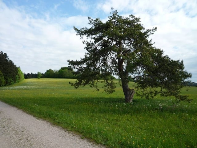
Beschilderung Alb X-ing

Ich bin Teile der Tour diese Woche gefahren. Stimmt, dass Teile der Strecke nicht mit dem GPS-Track übereinstimmen. Die Beschilderung der Tour ist sehr dürftig. Manchmal gibts gleich mehrere Schilder, dann an anderer Stelle gibts dafür gar keine Beschilderung. Mit dem GPS-Track funzt es aber ganz gut. Landschaftlich ist die Tour sehr schön, aber fahrtechnisch ziemlich öde!
Mit der Bahn bis Aalen und zur

GPS tracks

Trackpoints
  • GPX / Garmin Map Source (gpx) download
  • TCX / Garmin Training Center® (tcx) download
  • CRS / Garmin Training Center® (crs) download
  • Google Earth (kml) download
  • G7ToWin (g7t) download
  • TTQV (trk) download
  • Overlay (ovl) download
  • Fugawi (txt) download
  • Kompass (DAV) Track (tk) download
  • Track data sheet (pdf) download
  • Original file of the author (gpx) download

More about the tour author

TransalpX
Member since 2007

Send private message
Share track
Add to my favorites
Remove from my favorites
Edit tags
My score
Rate
Track: Transalb
Type: Mountain bike
Distance: 508,2 km
Evaluated on:
Duration:
Day(s)
Hour(s)
Minute(s)
Score: Landscape Fun factor Fitness Technique