


Hamburg Lemsahl - Duvenstedt - Kayhude - Gut Stegen - Naher Trail - Nahe - Oering - Seth - Heidertrail - Leezener Au - Kükels - Mözener Seetrail - Waldtrail - Mözen - Högersdorf - Travetal - Travetrail - Ihlseetrail - Klein Rönnau - Großer Segeberger See - Flowtrail - Moosberg - Kalkberg - Klein Gladebrügg - Schwissel - Bebensee - Tralau - Klingberg - Tönningstedt - Sülfeld - Gräberkate - Wilhelm - Brook - Duvenstedt - Lemsahl
Further information at
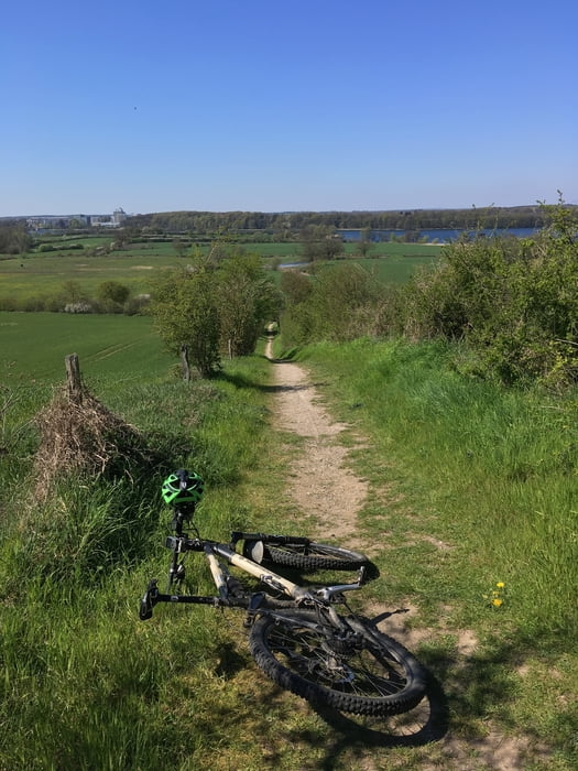
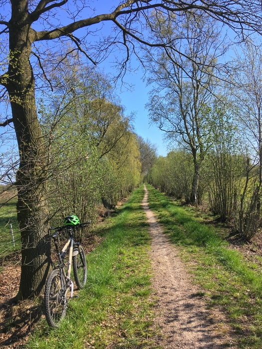
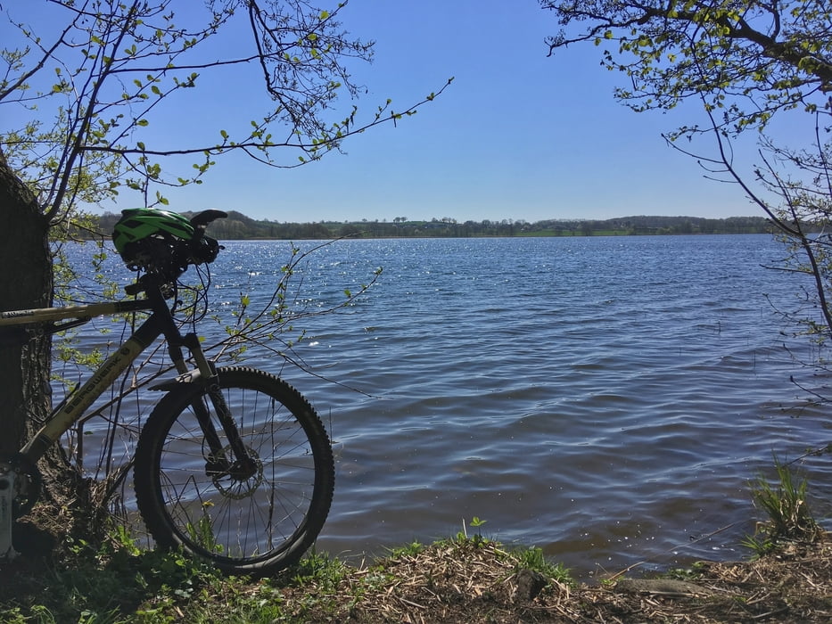
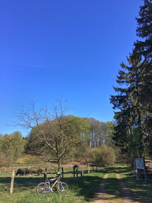
http://www.hegibiketours.de/Tour gallery
Tour map and elevation profile
Minimum height 7 m
Maximum height 77 m
More about the tour author
|
|
hegi |
Comments

Parken kann man in Lemsahl in den Wohngegenden
GPS tracks
Trackpoints-
GPX / Garmin Map Source (gpx) download
-
TCX / Garmin Training Center® (tcx) download
-
CRS / Garmin Training Center® (crs) download
-
Google Earth (kml) download
-
G7ToWin (g7t) download
-
TTQV (trk) download
-
Overlay (ovl) download
-
Fugawi (txt) download
-
Kompass (DAV) Track (tk) download
-
Track data sheet (pdf) download
-
Original file of the author (gpx) download
More about the tour author
|
|
hegi |
Add to my favorites
Remove from my favorites
Edit tags
Open track
My score
Rate