

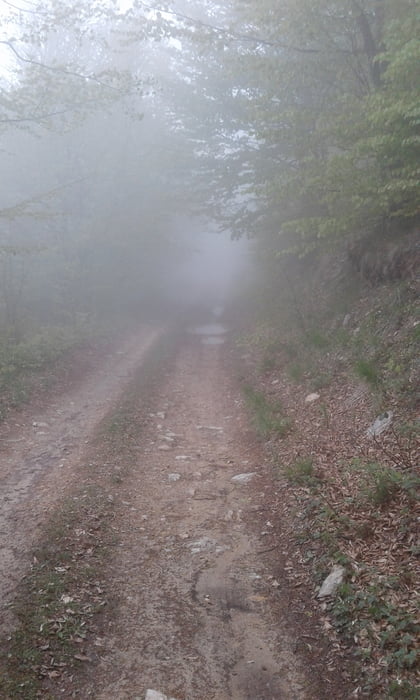
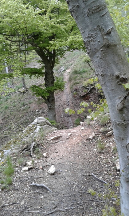
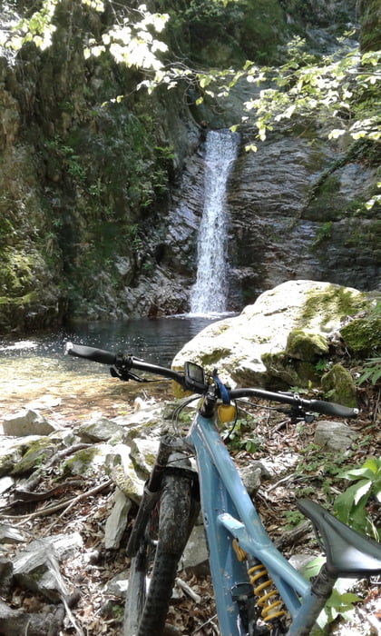
vom Camping Tahit über Perti und Mulino hinauf zum Melognopass. Weiter auf der AV zum Colle Melogno und dann den Fast + Furios hinunter (S2 - S3 - nicht so steinig wie der Isallo Extasy) War sehr schmierig, da es zuvor geregnet hat und oben ziemlich neblig. Unten angekommen auf dem TA weiter (ist aber nicht empfehlenswert, denn nach einer Weile gehts ca. 4 km und 270 hm nur noch schiebend hoch.Ich habe dafür ca. 2 Std. gebraucht. Lieber mit 2 Stöcken wandern als mit einem 25kg Bike an der Seite). Die Abfahrt nach Pietra Ligure ist aber wieder sehr spannend. Zwischen S1 und S4 ist alles dabei (auch ein paar mal bergabschieben). Von Pietra Ligure an der Küstenstrasse zuück zum Camping.
Tour gallery

Tour map and elevation profile
Minimum height -46 m
Maximum height 1161 m
More about the tour author
|
|
Fruehaufsteher |
Comments

GPS tracks
Trackpoints-
GPX / Garmin Map Source (gpx) download
-
TCX / Garmin Training Center® (tcx) download
-
CRS / Garmin Training Center® (crs) download
-
Google Earth (kml) download
-
G7ToWin (g7t) download
-
TTQV (trk) download
-
Overlay (ovl) download
-
Fugawi (txt) download
-
Kompass (DAV) Track (tk) download
-
Track data sheet (pdf) download
-
Original file of the author (gpx) download
More about the tour author
|
|
Fruehaufsteher |
Add to my favorites
Remove from my favorites
Edit tags
Open track
My score
Rate