


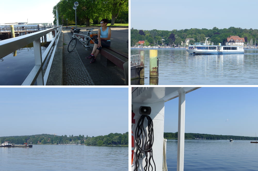
Die Tour wechselt das Seeufer gegenüber den Vortagen (vgl. gps-tour 168180 und 168187). Dazu nehmen wir die Fähre Wannsee – Alt Kladow (2019: 2.80 € p. P. und 1.90 € p. Rad, max 60 Fahrräder pro Tour).
Wir sind übrigens bei airbnb im noblen Zehlendorf gestartet. Zurück ging es durch den Grunewald an den Feuchtgebieten der Naturschutzstation vorbei.
Wir sind übrigens bei airbnb im noblen Zehlendorf gestartet. Zurück ging es durch den Grunewald an den Feuchtgebieten der Naturschutzstation vorbei.
Further information at
http://www.freiberg-service.de/Tour gallery


Tour map and elevation profile
Minimum height 36 m
Maximum height 76 m
More about the tour author
|
|
Saxoniaradler |
Comments

GPS tracks
Trackpoints-
GPX / Garmin Map Source (gpx) download
-
TCX / Garmin Training Center® (tcx) download
-
CRS / Garmin Training Center® (crs) download
-
Google Earth (kml) download
-
G7ToWin (g7t) download
-
TTQV (trk) download
-
Overlay (ovl) download
-
Fugawi (txt) download
-
Kompass (DAV) Track (tk) download
-
Track data sheet (pdf) download
-
Original file of the author (gpx) download
More about the tour author
|
|
Saxoniaradler |
Add to my favorites
Remove from my favorites
Edit tags
Open track
My score
Rate