


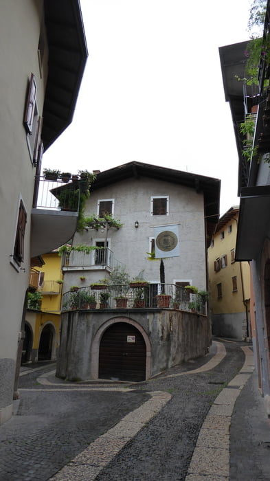
Wir gehen vom Campingplatz in Arco in Richtung Altstadt Arco. Kurz vor der Altstadt steigen wir rechts über Stufen und Wege hinauf zur Burg von Arco.
Unterhalb der Burg queren wir den Hang hinüber in Richtung Kirche Santa Maria di Laghel.
Auf steiler Asphaltstraße wandern wir hinauf bis wir rechts auf einen steilen steinigen Wanderweg abbiegen.
Am Bocetta di Padaro vorbei gehen wir in Richtung Monte Baone.
Leider aufgrund des schlechten Wetters und des rutschig-glitschigem Untergrundes kehrten wir kurz vor dem Monte Baone um und gingen gleichen Weg retour.
Bei Santa Maria di Laghel vorbei gehen wir rechts hinunter in Richtung Botanischem Garten – Parco Arciduacale.
Der freie Eintritt verwundert und wir treten durch das Tor in diesen wunderschönen Garten mit Pflanzen aus aller Welt.
Nach kurzem Verbleib im Park wandern wir wieder retour zum Campingplatz Arco.
Tour gallery


Tour map and elevation profile
Minimum height 94 m
Maximum height 454 m
More about the tour author
|
|
Hoar |
Comments

Start und Ziel der Tour ist der Campingplatz in Arco am Gardasee
GPS tracks
Trackpoints-
GPX / Garmin Map Source (gpx) download
-
TCX / Garmin Training Center® (tcx) download
-
CRS / Garmin Training Center® (crs) download
-
Google Earth (kml) download
-
G7ToWin (g7t) download
-
TTQV (trk) download
-
Overlay (ovl) download
-
Fugawi (txt) download
-
Kompass (DAV) Track (tk) download
-
Track data sheet (pdf) download
-
Original file of the author (gpx) download
More about the tour author
|
|
Hoar |
Add to my favorites
Remove from my favorites
Edit tags
Open track
My score
Rate