


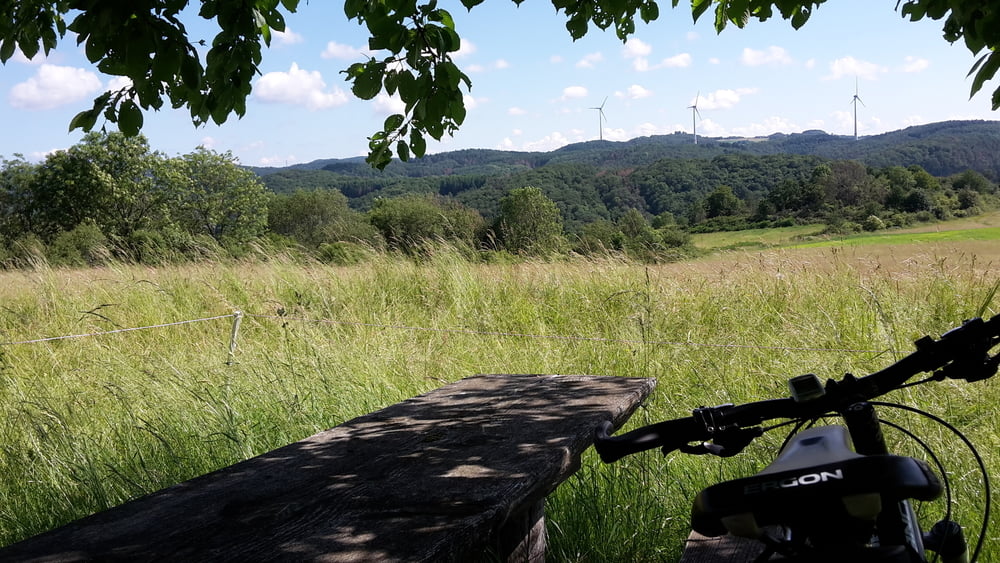
Schöner Rundweg entlang dem Aartalsee bisnach Bicken, hier kurz auf die Landstrasse in Richtung Eisemroth, weiter teilweise auf Wanderwegen (Bickener Ritterspuren, Lahn-Dill-Bergland-Pfad) über den Berg mit einigen knackigen Anstiegen, nach Eisemroth. Hier ist ein Abstecher zum Naturschwimmbad mit Einkehrmöglichkeit möglich. Über den Radweg weiter zum Aartalsee und zurück nach Erda.
Further information at
http://www.lahn-dill-bergland.deTour gallery

Tour map and elevation profile
Minimum height 234 m
Maximum height 418 m
More about the tour author

|
Arno Brueck |
Comments

Start und Ziel ist der Rathausplatz in Hohenahr- Erda.
GPS tracks
Trackpoints-
GPX / Garmin Map Source (gpx) download
-
TCX / Garmin Training Center® (tcx) download
-
CRS / Garmin Training Center® (crs) download
-
Google Earth (kml) download
-
G7ToWin (g7t) download
-
TTQV (trk) download
-
Overlay (ovl) download
-
Fugawi (txt) download
-
Kompass (DAV) Track (tk) download
-
Track data sheet (pdf) download
-
Original file of the author (gpx) download
More about the tour author
|
|
Arno Brueck |
Add to my favorites
Remove from my favorites
Edit tags
Open track
My score
Rate