
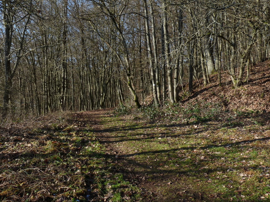

Diesmal geht es entlang dem Aartalsee wieder nach Eisemroth zum Naturschwimmbad. Ab hier größtenteils auf dem Lahn-Dill-Bergland-Pfad bis Bad Endbach. Vor Bad Endbach geht es entlang dem Flow-Trail Bad Endbach ( diesem kann man auch folgen, jedenfalls ist auf die Downhiller zu achten) hinunter zur Therme. Durch Bad Endbach geht es weiter hinauf zur Enbacher Platte. Ab hier geht es über tolle Waldwege wieder hinunter nach Bischoffen an den Aartalsee und zurück nach Erda.
Further information at
http://www.lahn-dill-bergland.de/Tour map and elevation profile
Minimum height 256 m
Maximum height 499 m
More about the tour author

|
Arno Brueck |
Comments

Start und Ziel ist der Rathausplatz in Erda.
Alternativ auch der Parkplatz am Aartalsee.
GPS tracks
Trackpoints-
GPX / Garmin Map Source (gpx) download
-
TCX / Garmin Training Center® (tcx) download
-
CRS / Garmin Training Center® (crs) download
-
Google Earth (kml) download
-
G7ToWin (g7t) download
-
TTQV (trk) download
-
Overlay (ovl) download
-
Fugawi (txt) download
-
Kompass (DAV) Track (tk) download
-
Track data sheet (pdf) download
-
Original file of the author (gpx) download
More about the tour author
|
|
Arno Brueck |
Add to my favorites
Remove from my favorites
Edit tags
Open track
My score
Rate