


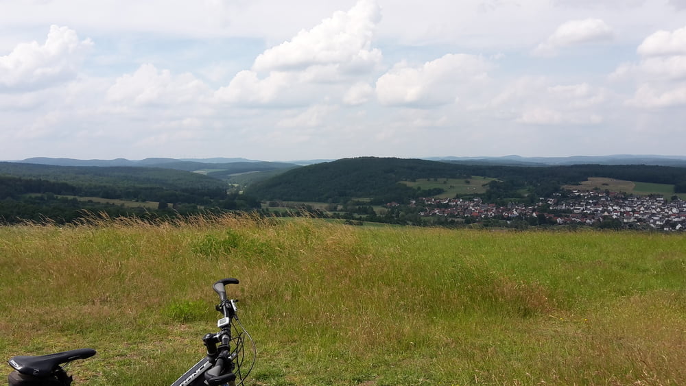
Die Tour führt durch den herrlichen Krofdorfer Forst zum Altenberg bei Odenhausen. Hier hat man eine tolle Ausicht nach Giessen und in das Salzbödetal bis zur Endbacher Platte (Windräder).
Es geht nur kurz über Landstrassen was deie Tour aber nicht vermiest. Die Trails sind nicht steil und bei trockenem Wetter herrlich zu fahren. Überwiegen geht es über Forstwege und Radwege.
Further information at
http://www.lahn-dill-bergland.deTour gallery


Tour map and elevation profile
Minimum height 168 m
Maximum height 363 m
More about the tour author

|
Arno Brueck |
Comments

Start und Ziel ist am Friedhof in Erda.
GPS tracks
Trackpoints-
GPX / Garmin Map Source (gpx) download
-
TCX / Garmin Training Center® (tcx) download
-
CRS / Garmin Training Center® (crs) download
-
Google Earth (kml) download
-
G7ToWin (g7t) download
-
TTQV (trk) download
-
Overlay (ovl) download
-
Fugawi (txt) download
-
Kompass (DAV) Track (tk) download
-
Track data sheet (pdf) download
-
Original file of the author (gpx) download
More about the tour author
|
|
Arno Brueck |
Add to my favorites
Remove from my favorites
Edit tags
Open track
My score
Rate