Login

Forgot your login?

Cookies have to be accepted!
Your browser's cookie functionality is disabled. Please enable this functionality.

Not a member yet?

Register now
Login

Available for registred users only

Log in to use this feature.

Forgot your login?

Cookies have to be accepted!
Your browser's cookie functionality is disabled. Please enable this functionality.

Not a member yet?

Register now
Filter
Categories
Advanced filters
  • Distance (km)
  • Height
Save filters Reset filter

TrackRank

QRCode

Technical data

Distance15,4 km Height845 m Way down818 m Duration01:30 h:m Date23.06.2019
Scores Author Landscape Fun factor Fitness Technique

Statistics

152 Views Scores 24 Downloads Average
Rate
  • Track data sheet
  • Directions
  • Downloads
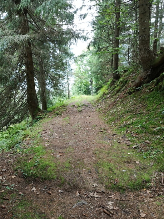
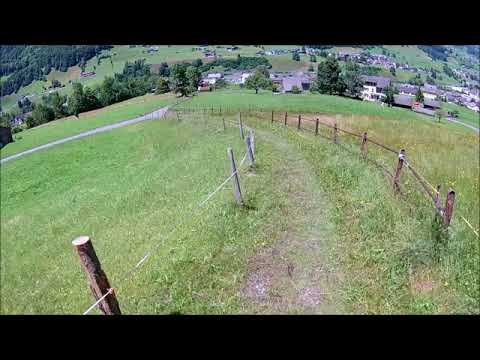
 Auf dem Veloweg bis Haslen und von dort die Forststrasse bis zur Auenalp. Runter gehts zu 100% auf dem Wanderweg nach Haslen. Eine schöne kurze Feierabendtour

Tour gallery

Tour map and elevation profile

  • Open Street Map
  • Google
Minimum height 506 m Maximum height 1341 m Detailed view

More about the tour author

luckymaaa
Member since 2009

Send private message

Comments

Mit dem Auto richtung Linthal oder mit dem Zug nach Schwanden oder Haslen

GPS tracks

Trackpoints
  • GPX / Garmin Map Source (gpx) download
  • TCX / Garmin Training Center® (tcx) download
  • CRS / Garmin Training Center® (crs) download
  • Google Earth (kml) download
  • G7ToWin (g7t) download
  • TTQV (trk) download
  • Overlay (ovl) download
  • Fugawi (txt) download
  • Kompass (DAV) Track (tk) download
  • Track data sheet (pdf) download
  • Original file of the author (gpx) download

More about the tour author

luckymaaa
Member since 2009

Send private message
Share track
Add to my favorites
Remove from my favorites
Edit tags
My score
Rate
Track: KtGL, Singletrail Haslen (inkl. Trailvideo)
Type: Mountain bike
Distance: 15,4 km
Evaluated on:
Duration:
Day(s)
Hour(s)
Minute(s)
Score: Landscape Fun factor Fitness Technique