

Valkenburg-Runde 18 km
Start am CP Oriental. Links auf dem Radweg geht es erstmal gut 3 km bergab. (60 Hm !)
Links (LF3) und nochmal links (LF6vr) geht es Richtung Bemelen. Wir streifen dem Mellenberg und folgen der LF6vr.
Auf dem Bemelenweg geht es nach Valkenburg. Vorbei an der Roebroekgroeve bestaunen wir die Kasteel Valkenburg (Burgruine).
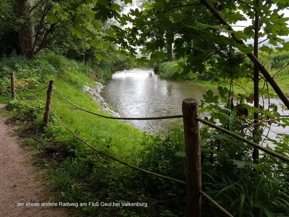
Wir sehen die Einfahrt zum berühmten Cauberg (Zielberg des jährlichen Amstel Gold Race). An der Bergsohle fahren wir am Fluß Geul entlang nach Geulhem.
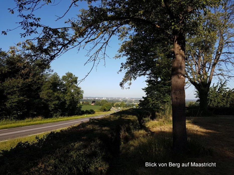
Weiter auf dem Geulweg. Schließlich biegen wir links in den Bronsdalweg und fahren hinauf nach Berg (50 Hm) und zurück zum CP.
FAZIT:
In den Niederlanden gibt es auch Berge.
Hier ist es recht wellig.
Empfehlung:
Besuch Burgruine in Valkenburg
Als Rennrad-Fan muss man den Cauberg hochfahren.
Als MTB-Fan muss man in der Grotte fahren (https://grottenvanvalkenburg.nl/nl/biken)
Tour gallery
Tour map and elevation profile
Minimum height 54 m
Maximum height 155 m
More about the tour author
|
|
Stummi |
Comments

GPS tracks
Trackpoints-
GPX / Garmin Map Source (gpx) download
-
TCX / Garmin Training Center® (tcx) download
-
CRS / Garmin Training Center® (crs) download
-
Google Earth (kml) download
-
G7ToWin (g7t) download
-
TTQV (trk) download
-
Overlay (ovl) download
-
Fugawi (txt) download
-
Kompass (DAV) Track (tk) download
-
Track data sheet (pdf) download
-
Original file of the author (gpx) download
More about the tour author
|
|
Stummi |
Add to my favorites
Remove from my favorites
Edit tags
Open track
My score
Rate