

Wanderung Groeve Crufts - 4 km
Start am CP Oriental.
Wir laufen ein kleines Stück auf dem Radweg und biegne dann mal rechts ab.
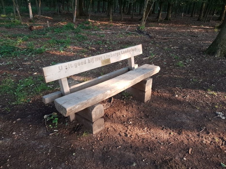
Bei den Koordinaten 50.8633357, 5.7637833 steht eine Bank mit herrlichem Blick auf Maastricht.
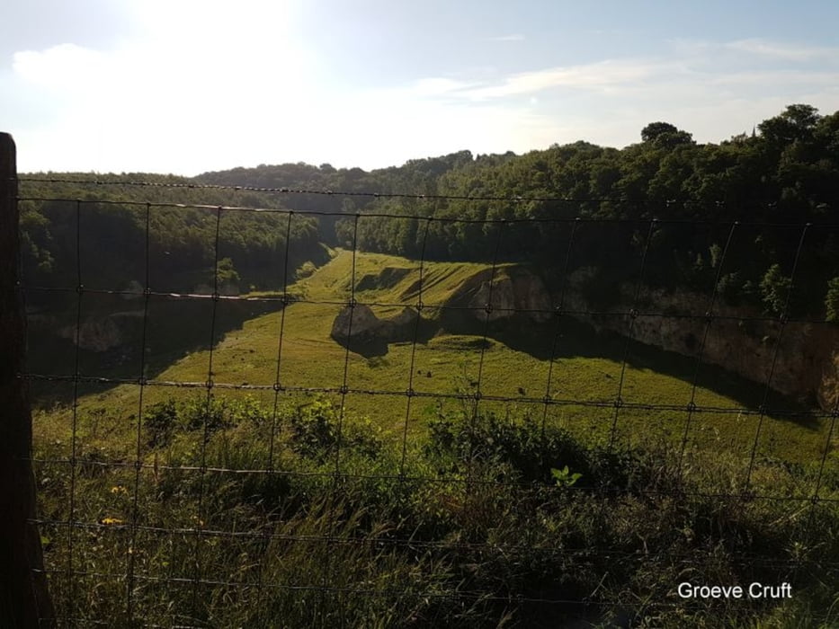
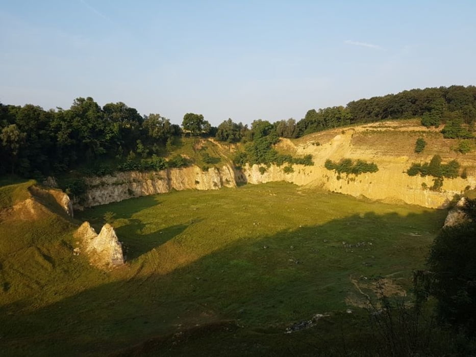
Nach einen kurzem Stück Straße biegen wir links in den Wald zur Groeve Cruft.
Der Blick in die Grube öffnet sich.
Bei den Koordinaten 50.8689288, 5.7690941 gibt es eine Aussichtsplattform /-punkt.
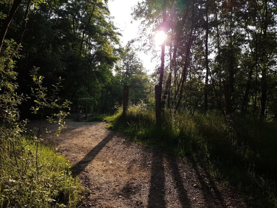
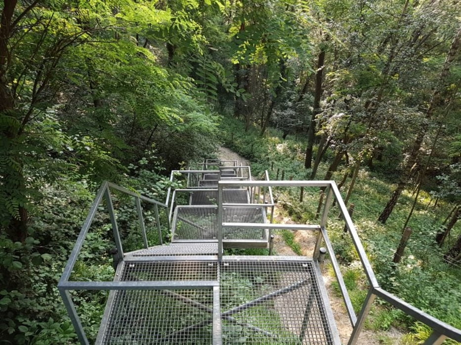
Wir folgen dem Weg, bis wir auf eine rießige Treppe mitten im Wald treffen. Die Treppe geht es hinunter.
Den Bronsdalweg geht es zurück nach Berg und zum CP.
FAZIT:
Sehr empfehlenswert
Tour gallery
Tour map and elevation profile
Minimum height 86 m
Maximum height 124 m
More about the tour author
|
|
Stummi |
Comments

GPS tracks
Trackpoints-
GPX / Garmin Map Source (gpx) download
-
TCX / Garmin Training Center® (tcx) download
-
CRS / Garmin Training Center® (crs) download
-
Google Earth (kml) download
-
G7ToWin (g7t) download
-
TTQV (trk) download
-
Overlay (ovl) download
-
Fugawi (txt) download
-
Kompass (DAV) Track (tk) download
-
Track data sheet (pdf) download
-
Original file of the author (gpx) download
More about the tour author
|
|
Stummi |
Add to my favorites
Remove from my favorites
Edit tags
Open track
My score
Rate