


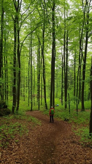
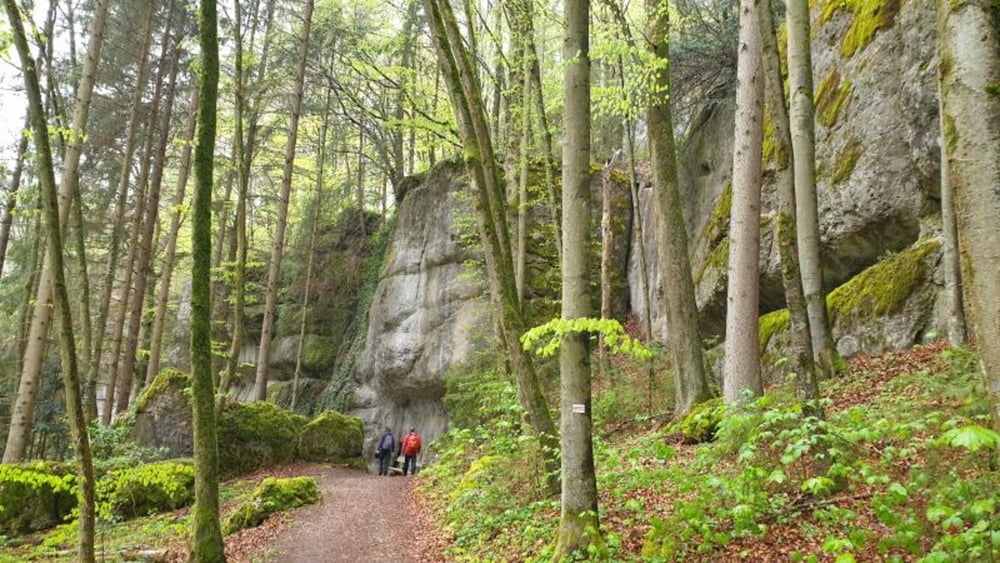
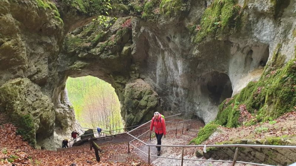
Weitwanderung durch die fränkische Schweiz.Ausgangspunkt ist Hundsdorf, Ziel ist das Wiesenttal kurz vor Streitberg. man benötigt also zwei Fahrzeuge. Über Obertrubach und Leienfels geht es nach Pottenstein und der Teufelshöhle vorbei nach Gößweinstein. Kurz vor Doos wird die Riesenburg durchquert, sowie wenig später der Hohle Berg. Hinter der Rosenmüller-Höhle (Abstecher) ist es dann nicht mehr weit bis zum Ziel. Der Weg ist größtenteils ausgeschildert und folgt dem Frankenweg auf ion diesem Teilstück.
Further information at
https://www.frankenweg.de/Tour gallery

Tour map and elevation profile
Minimum height 312 m
Maximum height 582 m
More about the tour author
|
|
mmehle |
Comments

Mit eigenem PKW bis Hundsdorf.
GPS tracks
Trackpoints-
GPX / Garmin Map Source (gpx) download
-
TCX / Garmin Training Center® (tcx) download
-
CRS / Garmin Training Center® (crs) download
-
Google Earth (kml) download
-
G7ToWin (g7t) download
-
TTQV (trk) download
-
Overlay (ovl) download
-
Fugawi (txt) download
-
Kompass (DAV) Track (tk) download
-
Track data sheet (pdf) download
-
Original file of the author (gpx) download
More about the tour author
|
|
mmehle |
Add to my favorites
Remove from my favorites
Edit tags
Open track
My score
Rate