


Start der Tour ist in Ebreichsdorf beim alten Sportplatz.
Die Tour verläuft hauptsächlich auf Feld.- , Rad.- und Wanderwege (durch die Wüste verläuft die Strecke nicht immer auf mit "MTB-Strecke" gekennzeichnete Wege).
Von Ebreichsdorf geht es durch Unterwaltersdorf, Schranawand, Reisenberg und Wasenbruck nach Mannersdorf.
In Mannersdorf beginnt der Naturpark "Die Wüste" der sich am Leithagebirge befindet.
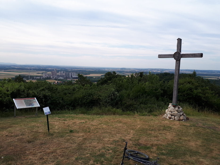
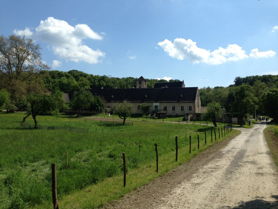
Durch die Wüste geht es vorbei an der Hochfilzerhütte (Schiwiese), Franz Josef Warte, Ruine Scharfeneck, auf den Scheiterberg, Kloster St.Anna und Arbachmühle wo sich der Haupteingang in die Wüste befindet.
Ab der Arbachmühle führt die Strecke durch Leitha/Deutsch Brodersdorf und Weigelsdorf zurück nach Ebreichsdorf.
Further information at
http://www.diewuestemannersdorf.at/Tour gallery
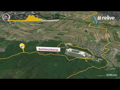
Tour map and elevation profile
Minimum height 173 m
Maximum height 450 m
More about the tour author
|
|
kersti |
Comments

Parkmöglichkeit beim alten Sportplatz Ebreichsdorf.
Der Bahnhof Ebreichsdorf befindet sich ca.200m vom Startpunkt entfernt.
GPS tracks
Trackpoints-
GPX / Garmin Map Source (gpx) download
-
TCX / Garmin Training Center® (tcx) download
-
CRS / Garmin Training Center® (crs) download
-
Google Earth (kml) download
-
G7ToWin (g7t) download
-
TTQV (trk) download
-
Overlay (ovl) download
-
Fugawi (txt) download
-
Kompass (DAV) Track (tk) download
-
Track data sheet (pdf) download
-
Original file of the author (gpx) download
More about the tour author
|
|
kersti |
Add to my favorites
Remove from my favorites
Edit tags
Open track
My score
Rate