


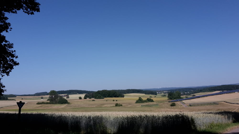
Die Tour führt überwiegend über Forstwege und asphaltierte Feldwege und ist dadurch auch mit einem Treckingrad gut zu fahren.
Von Erda führt die Tour vorbei an der Eisernen Hand nach Wilsbach und in Richtung Zollbuche. Kurz über die Landstrasse Richtung Zollbuche und links auf den Forstweg nach Niederweidbach. Vorbei am Aaartalsee durch das Gellenbachtal in Richtung Altenkirchen. Nun weiter nach Groß-Altenstädten vorbei am Schwimmbad und hoch nach Hohensolms. Nun geht es abwärts zurück nach erda.
Further information at
http://www.lahn-dill-bergland.deTour gallery
Tour map and elevation profile
Minimum height 240 m
Maximum height 446 m
More about the tour author

|
Arno Brueck |
Comments

Start und Ziel ist der Friedhof in Erda.
GPS tracks
Trackpoints-
GPX / Garmin Map Source (gpx) download
-
TCX / Garmin Training Center® (tcx) download
-
CRS / Garmin Training Center® (crs) download
-
Google Earth (kml) download
-
G7ToWin (g7t) download
-
TTQV (trk) download
-
Overlay (ovl) download
-
Fugawi (txt) download
-
Kompass (DAV) Track (tk) download
-
Track data sheet (pdf) download
-
Original file of the author (gpx) download
More about the tour author
|
|
Arno Brueck |
Add to my favorites
Remove from my favorites
Edit tags
Open track
My score
Rate