Login

Forgot your login?

Cookies have to be accepted!
Your browser's cookie functionality is disabled. Please enable this functionality.

Not a member yet?

Register now
Login

Available for registred users only

Log in to use this feature.

Forgot your login?

Cookies have to be accepted!
Your browser's cookie functionality is disabled. Please enable this functionality.

Not a member yet?

Register now
Filter
Categories
Advanced filters
  • Distance (km)
  • Height
Save filters Reset filter

TrackRank

QRCode

Technical data

Distance23,9 km Height209 m Way down631 m Duration02:30 h:m Date11.06.2008
Scores Author User Landscape Fun factor Fitness Technique

Statistics

839 Views 1 Score 90 Downloads 4.00 Average
Rate
  • Track data sheet
  • Directions
  • Downloads

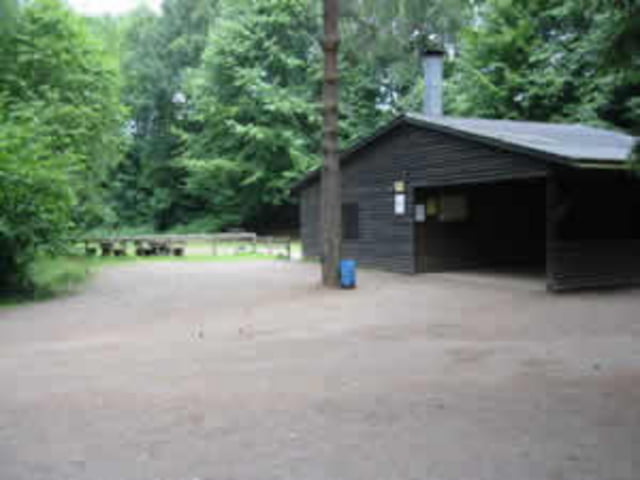
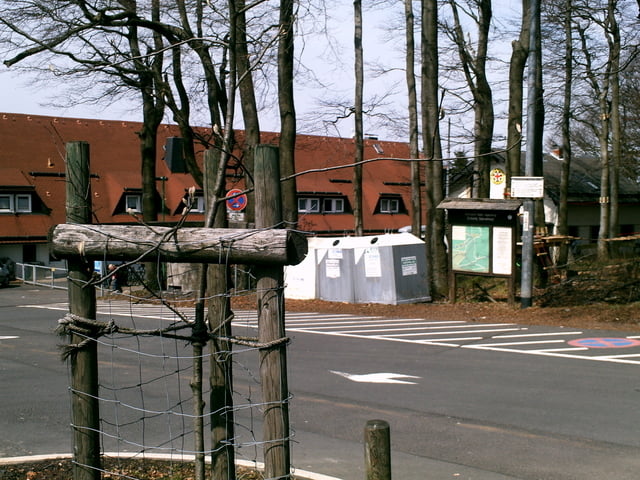
Vom DGH Weickartshain geht es nach Freienseen. Durch denn Wald nach Rüdingshain u. weiter durch denn Wald zum Hoherotskopf. Die Tour führt 95% durch denn Wald.

Wer gut drauf ist - ca. 1 h 40 min. oder schneller.


Tour gallery

Tour map and elevation profile

  • Open Street Map
  • Google
Minimum height 273 m Maximum height 741 m Detailed view

More about the tour author

SGSTOUR1
Member since 2008

Send private message

Comments

checksix11 on 08.04.2013

Umgekehrt..

..gefahren ist das natürlich keine Kunst :-). Forstwege nach unten.

Weickartshain liegt 6km von Grünberg u. 30km von Giessen.

Von GI auf der B49 fahren bis Grünberg.

Grünberg durchfahrren dann rechts ab nach Weickartshain.

GPS tracks

Trackpoints
  • GPX / Garmin Map Source (gpx) download
  • TCX / Garmin Training Center® (tcx) download
  • CRS / Garmin Training Center® (crs) download
  • Google Earth (kml) download
  • G7ToWin (g7t) download
  • TTQV (trk) download
  • Overlay (ovl) download
  • Fugawi (txt) download
  • Kompass (DAV) Track (tk) download
  • Track data sheet (pdf) download
  • Original file of the author (gpx) download

More about the tour author

SGSTOUR1
Member since 2008

Send private message
Share track
Add to my favorites
Remove from my favorites
Edit tags
My score
Rate
Track: Hoherotskopf
Type: Mountain bike
Distance: 23,9 km
Evaluated on:
Duration:
Day(s)
Hour(s)
Minute(s)
Score: Landscape Fun factor Fitness Technique