


Eine zusammen gewürfelte MTB-Tour, von St Andrä aus gehend. Parkplatz ist beim Badesee in St Andrä.Die Tour führt gegen den Uhrzeigersinn, und verläuft zu 60% am Asphalt und 40% auf Schotterwege . Die Tour ist auch leicht mit einem Trekking Bike machbar .
Ich finde es aber trotzdem anspruchsvoll und ein gutes Training.
Leider gibt es nicht sehr viele Einkehrmöglichkeiten, habe gerade mal einen Kaffee beim Gasthof Leitgeb erhalten , aber was ich gesehen habe man kann dort sehr gut Essen..Daher zur Sicherheit genügend zum Trinken mit nehmen..
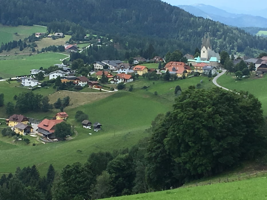
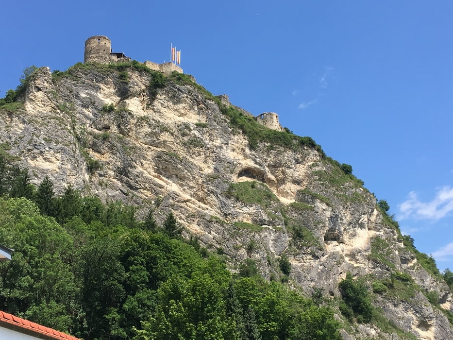
Tour gallery

Tour map and elevation profile
Minimum height 379 m
Maximum height 1301 m
More about the tour author
|
|
Mountainbikegirl |
Comments

GPS tracks
Trackpoints-
GPX / Garmin Map Source (gpx) download
-
TCX / Garmin Training Center® (tcx) download
-
CRS / Garmin Training Center® (crs) download
-
Google Earth (kml) download
-
G7ToWin (g7t) download
-
TTQV (trk) download
-
Overlay (ovl) download
-
Fugawi (txt) download
-
Kompass (DAV) Track (tk) download
-
Track data sheet (pdf) download
-
Original file of the author (gpx) download
More about the tour author
|
|
Mountainbikegirl |
Add to my favorites
Remove from my favorites
Edit tags
Open track
My score
Rate