Login

Forgot your login?

Cookies have to be accepted!
Your browser's cookie functionality is disabled. Please enable this functionality.

Not a member yet?

Register now
Login

Available for registred users only

Log in to use this feature.

Forgot your login?

Cookies have to be accepted!
Your browser's cookie functionality is disabled. Please enable this functionality.

Not a member yet?

Register now
Filter
Categories
Advanced filters
  • Distance (km)
  • Height
Save filters Reset filter

TrackRank

QRCode

Technical data

Distance7,4 km Height502 m Way down439 m Duration00:00 h:m Date12.07.2019
Scores Author Landscape Fun factor Fitness Technique

Statistics

124 Views Scores 6 Downloads Average
Rate
  • Track data sheet
  • Directions
  • Downloads

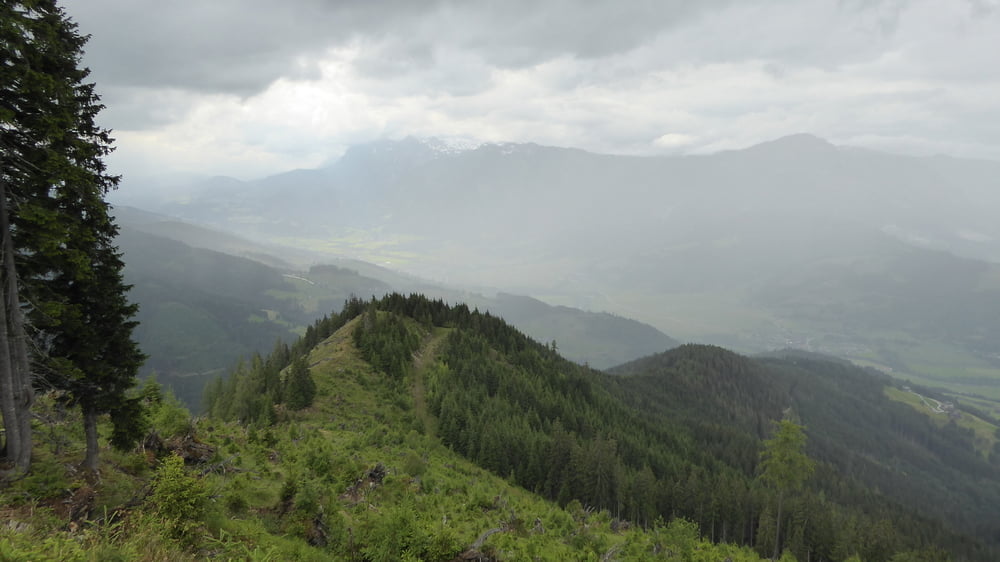
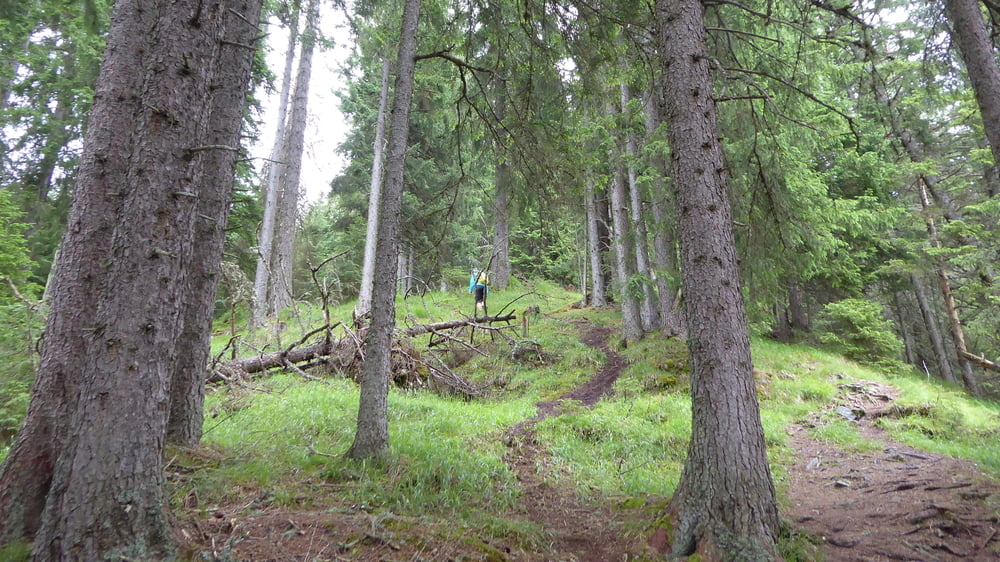
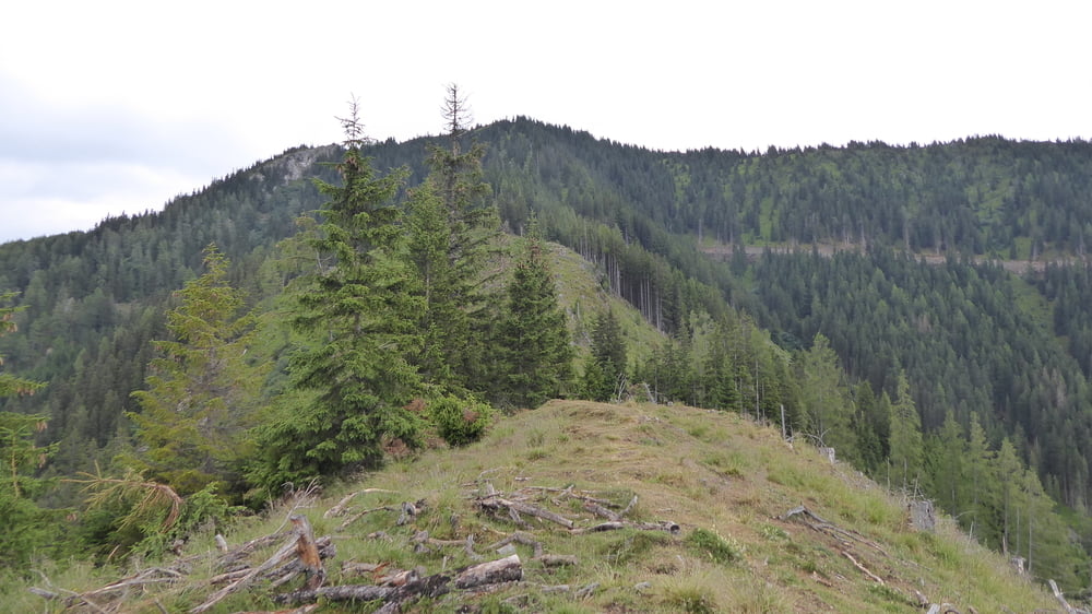
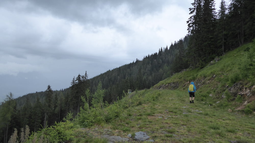
Wanderung vom Michaelaberghaus hinauf zum Kochofen

Leider aufgrund von Schlechtwettereinbruch rund 600 Laufmeter vorm Gipfel abbrechen müssen und auf Forststraße retour.

Schöner sehr steiler Aufstieg auf Wurzel-Wanderweg.


Tour gallery

Tour map and elevation profile

  • Open Street Map
  • Google
Minimum height 1206 m Maximum height 1722 m Detailed view

More about the tour author

Hoar
Member since 2009

Send private message

Comments

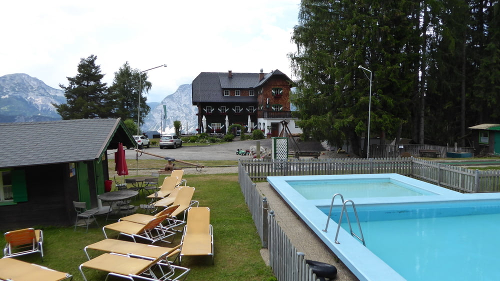
Start und Ziel der Tour ist das Michaelaberghaus oberhalb von Gröbming

GPS tracks

Trackpoints
  • GPX / Garmin Map Source (gpx) download
  • TCX / Garmin Training Center® (tcx) download
  • CRS / Garmin Training Center® (crs) download
  • Google Earth (kml) download
  • G7ToWin (g7t) download
  • TTQV (trk) download
  • Overlay (ovl) download
  • Fugawi (txt) download
  • Kompass (DAV) Track (tk) download
  • Track data sheet (pdf) download
  • Original file of the author (gpx) download

More about the tour author

Hoar
Member since 2009

Send private message
Share track
Add to my favorites
Remove from my favorites
Edit tags
My score
Rate
Track: Kochofen bei Gröbming
Type: Hiking
Distance: 7,4 km
Evaluated on:
Duration:
Day(s)
Hour(s)
Minute(s)
Score: Landscape Fun factor Fitness Technique