


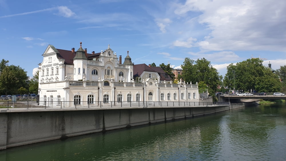
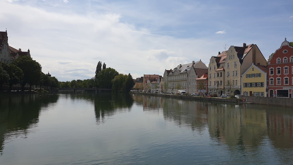
Von Arnstorf geht es über Simbach in die Nähe von Dingolfing auf den Isarradweg. Diesem folgen wir über Niederaichbach, Landshut, Moosburg, Freising, Ismaning nach München. In München folgen wir der Isar bis zur Marienklausenbrücke am Tierpark. Hier fahren wir hinauf zum Isarhochufer und an der Menterschwaige vorbei zum Geiselgasteig. Am Geiselgasteig vorbei gelangen wir zur Kugler Alm und schließlich nach Taufkirchen
Tour gallery


Tour map and elevation profile
Minimum height 343 m
Maximum height 567 m
More about the tour author

|
Comments

Von München über die A8 in Flughafen München. Am Autobahnkreuz Neufahrn biegt man auf die A92 in Richtung Deggendorf/Passau ab und folgt dieser bis zur Ausfahrt bei Landau an der Isar. Hier folgt man dann der B20 nach Simbach und biegt dann auf die St2112 nach Arnstrof ab
GPS tracks
Trackpoints-
GPX / Garmin Map Source (gpx) download
-
TCX / Garmin Training Center® (tcx) download
-
CRS / Garmin Training Center® (crs) download
-
Google Earth (kml) download
-
G7ToWin (g7t) download
-
TTQV (trk) download
-
Overlay (ovl) download
-
Fugawi (txt) download
-
Kompass (DAV) Track (tk) download
-
Track data sheet (pdf) download
-
Original file of the author (tcx) download
More about the tour author
|
|
Add to my favorites
Remove from my favorites
Edit tags
Open track
My score
Rate