Login

Forgotten password?

Cookies have to be accepted!
Your browser's cookie functionality is disabled. Please enable this functionality.

Not a member yet?

Register now
Login

Available for registred users only

Log in to use this feature.

Forgotten password?

Cookies have to be accepted!
Your browser's cookie functionality is disabled. Please enable this functionality.

Not a member yet?

Register now
Filter
Categories
Advanced filters
  • Distance (km)
  • Height
Save filters Reset filter

TrackRank

QRCode

Technical data

Distance24,4 km Height640 m Way down639 m Duration05:30 h:m Date03.03.2019
Scores Author Landscape Fun factor Fitness Technique

Statistics

100 Views Scores 17 Downloads Average
Rate
  • Track data sheet
  • Directions
  • Downloads

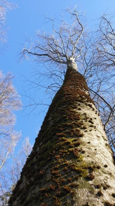
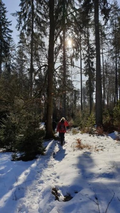
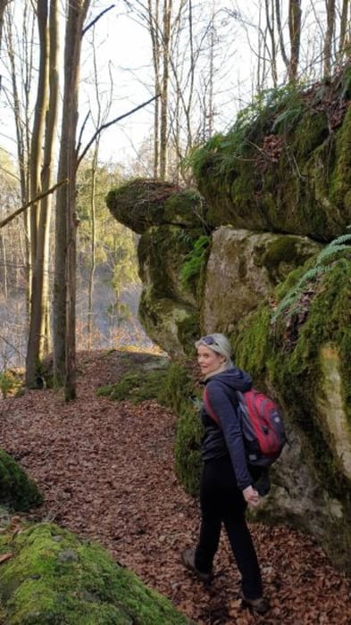
Nette Tour von Neuhaus bei Pegnitz zum Ossinger. Die Ossinger Hütte ist in den Sommermonaten bewirtschaftet.

Anreise bequem mit der Bahn möglich

Further information at

https://ossinger-huette.de/

Tour gallery

Tour map and elevation profile

  • Open Street Map
  • Google
Minimum height 385 m Maximum height 650 m Detailed view

More about the tour author

mmehle
Member since 2008

Send private message

Comments

Mit der Bahn oder dem PKW nach Neuhaus bei Pegnitz

GPS tracks

Trackpoints
  • GPX / Garmin Map Source (gpx) download
  • TCX / Garmin Training Center® (tcx) download
  • CRS / Garmin Training Center® (crs) download
  • Google Earth (kml) download
  • G7ToWin (g7t) download
  • TTQV (trk) download
  • Overlay (ovl) download
  • Fugawi (txt) download
  • Kompass (DAV) Track (tk) download
  • Track data sheet (pdf) download
  • Original file of the author (gpx) download

More about the tour author

mmehle
Member since 2008

Send private message
Share track
Add to my favorites
Remove from my favorites
Edit tags
My score
Rate
Track: Wanderweg Zum Ossinger
Type: Hiking
Distance: 24,4 km
Evaluated on:
Duration:
Day(s)
Hour(s)
Minute(s)
Score: Landscape Fun factor Fitness Technique