Login

Forgot your login?

Cookies have to be accepted!
Your browser's cookie functionality is disabled. Please enable this functionality.

Not a member yet?

Register now
Login

Available for registred users only

Log in to use this feature.

Forgot your login?

Cookies have to be accepted!
Your browser's cookie functionality is disabled. Please enable this functionality.

Not a member yet?

Register now
Filter
Categories
Advanced filters
  • Distance (km)
  • Height
Save filters Reset filter

TrackRank

QRCode

Technical data

Distance13,3 km Height320 m Way down320 m Duration03:30 h:m Date06.10.2014
Scores Author Landscape Fun factor Fitness Technique

Statistics

185 Views Scores 37 Downloads Average
Rate
  • Track data sheet
  • Directions
  • Downloads
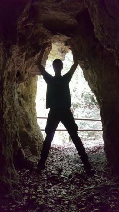
Schöne Wanderung vor allem im Herbst. Von Egloffstein zum Fürther Turm und dann weiter nach Thuisbrunnmit. Verschiedenen Einkehrmöglichkeiten...

Further information at

https://www.egloffstein.de/seite/de/markt/567/-/Wandertipps.html

Tour gallery

Tour map and elevation profile

  • Open Street Map
  • Google
Minimum height 356 m Maximum height 509 m Detailed view

More about the tour author

mmehle
Member since 2008

Send private message

Comments

Am Ortsausgang von Eggloffstein gibt es einen größeren Wanderparkplatz.

GPS tracks

Trackpoints
  • GPX / Garmin Map Source (gpx) download
  • TCX / Garmin Training Center® (tcx) download
  • CRS / Garmin Training Center® (crs) download
  • Google Earth (kml) download
  • G7ToWin (g7t) download
  • TTQV (trk) download
  • Overlay (ovl) download
  • Fugawi (txt) download
  • Kompass (DAV) Track (tk) download
  • Track data sheet (pdf) download
  • Original file of the author (gpx) download

More about the tour author

mmehle
Member since 2008

Send private message
Share track
Add to my favorites
Remove from my favorites
Edit tags
My score
Rate
Track: Fürther Turm - Thuisbrunn
Type: Hiking
Distance: 13,3 km
Evaluated on:
Duration:
Day(s)
Hour(s)
Minute(s)
Score: Landscape Fun factor Fitness Technique