


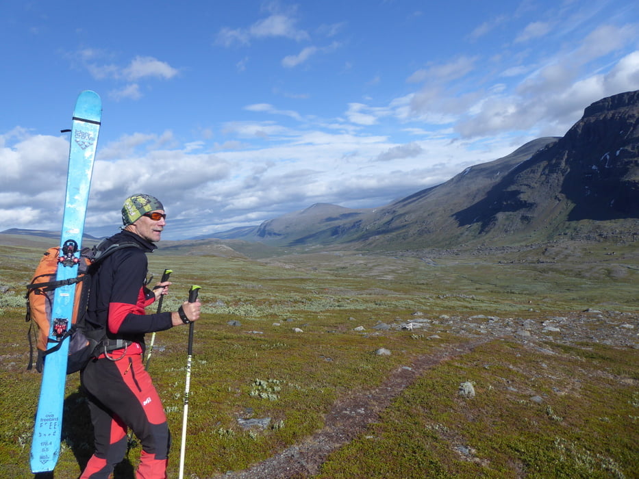
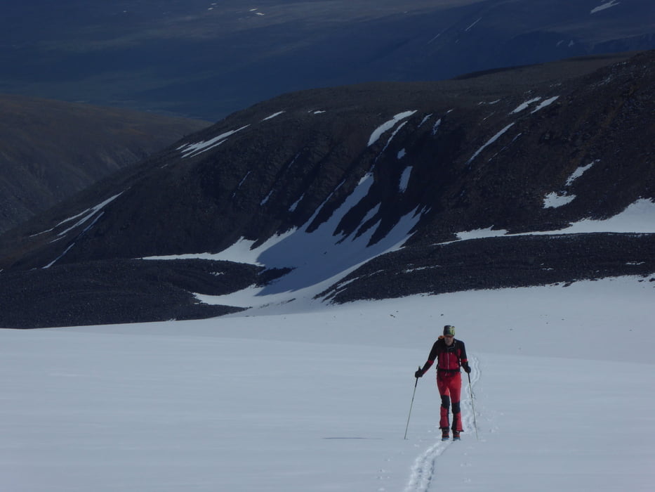
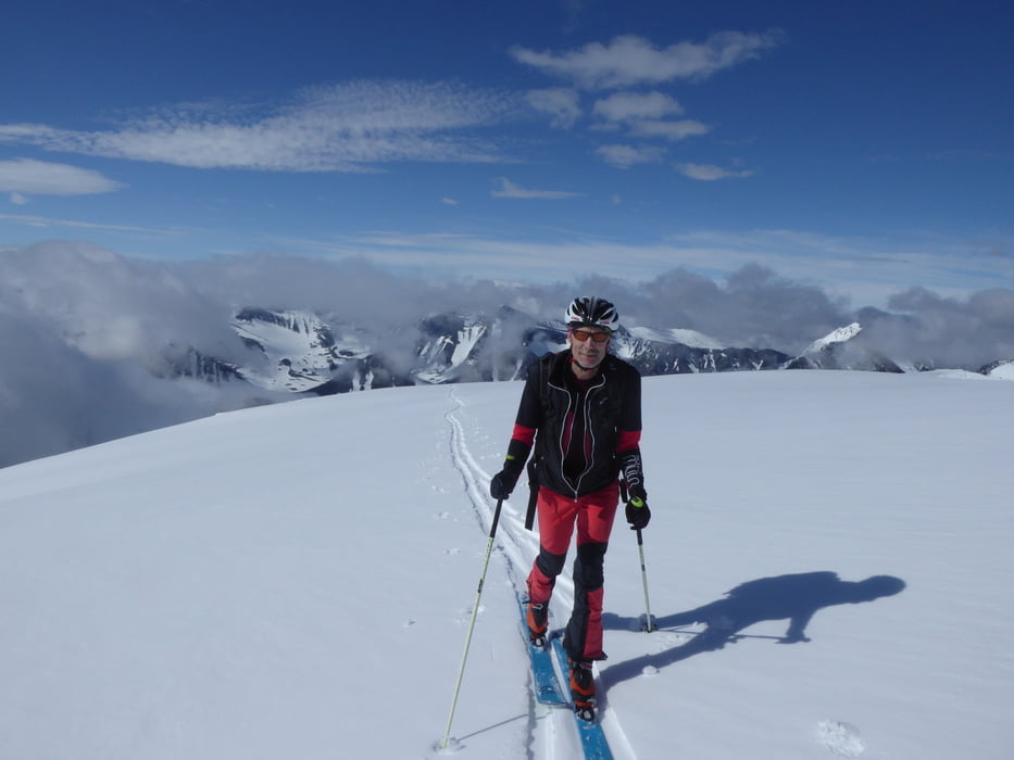
Start in Nikkaluokta mit dem Mountainbike. Nach etwa 11,5 km (etwa 1,5 km nach der zeiten Bootsanlegestelle) wird der Weg sehr verblock, so dass es zu Fuß weiter geht. Vor einer Brücke Richtung Norden und zum Gletscher. Über den Nordgipfel des Kebnekaise (mit Fixseilsicherung von der Scharte zum Grat) zum Südpipfel. Bis zum Nordgipfel sehr einsam, dann viele Bergsteiger. Höhepunkt ist die Südabfahrt zur Fjällstation über etwa 1000 hm. Nun auf langem Weg zurück. Nun zahlt sich auch das Bike aus, dass die letzten 11,5 km wesentlich verkürzt. Alternativ (bei 55,2 km Weglänge!) kann auch eine Übernachtung auf der Fjällstation eingebaut werden.
Tour gallery
Tour map and elevation profile
Minimum height 368 m
Maximum height 2201 m
More about the tour author

|
Klaus112 |
Comments

Von Kiruna über einsame Straße nach Kikkaluoktua. Wir sahen Renntiere und auch eine Elchkuh.
GPS tracks
Trackpoints-
GPX / Garmin Map Source (gpx) download
-
TCX / Garmin Training Center® (tcx) download
-
CRS / Garmin Training Center® (crs) download
-
Google Earth (kml) download
-
G7ToWin (g7t) download
-
TTQV (trk) download
-
Overlay (ovl) download
-
Fugawi (txt) download
-
Kompass (DAV) Track (tk) download
-
Track data sheet (pdf) download
-
Original file of the author (gpx) download
More about the tour author
|
|
Klaus112 |
Add to my favorites
Remove from my favorites
Edit tags
Open track
My score
Rate