
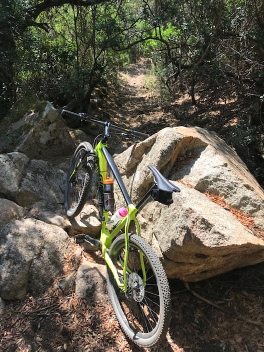

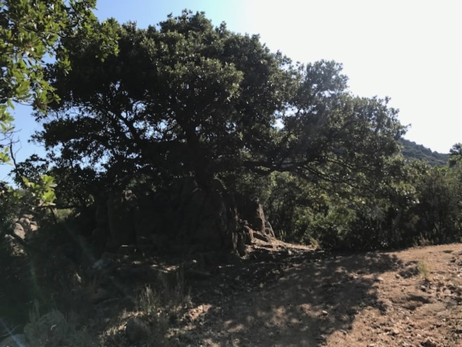
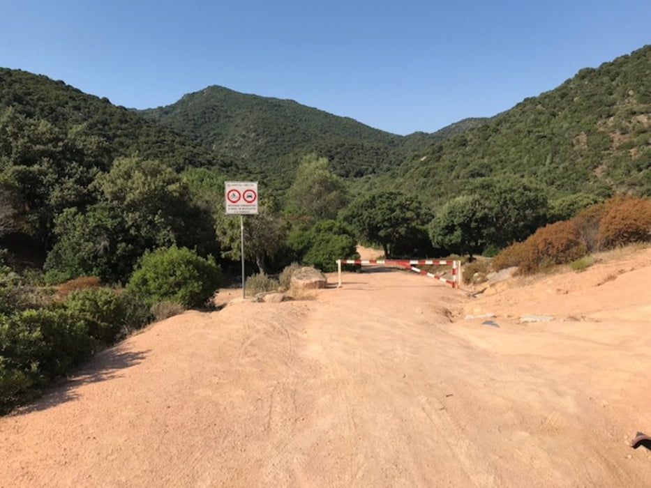
Diese Tour hat ihren Namen verdient. Sie kam zustande, als ich mich auf die App Komoot verlassen habe, quasi "einfach mal" einen Track damit erstellt und abgefahren habe. Die Anfahrt ist einfach und kaum erwähnenswert. Straße und Schotter bis max. 16%. Dann gehts in den Single-Trail, der eigentlich ein Wanderweg ist. Das heißt: Steil auf und ab, rutschig, verblockt, immer wieder extrem abschüssig, mit fießen Büschen verwachsen, Dornen von allen Seiten und bis kurz vor Schluss fordernd. ICh schätze, ich habe rauf 30 Minuten und runter 10 Minuten geschoben, dabei auch meinen Hintern ramponiert und in beiden Reifen Dornen gesammelt. Viel Spaß allen Verrückten, die das nachfahren wollen :-)
Tour gallery
Tour map and elevation profile
Minimum height -12 m
Maximum height 430 m
More about the tour author
|
|
Telebike |
Comments

GPS tracks
Trackpoints-
GPX / Garmin Map Source (gpx) download
-
TCX / Garmin Training Center® (tcx) download
-
CRS / Garmin Training Center® (crs) download
-
Google Earth (kml) download
-
G7ToWin (g7t) download
-
TTQV (trk) download
-
Overlay (ovl) download
-
Fugawi (txt) download
-
Kompass (DAV) Track (tk) download
-
Track data sheet (pdf) download
-
Original file of the author (gpx) download
More about the tour author
|
|
Telebike |
Add to my favorites
Remove from my favorites
Edit tags
Open track
My score
Rate