


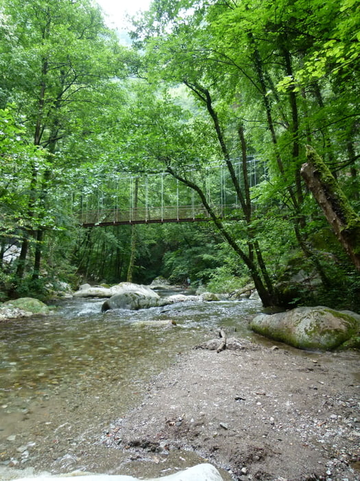
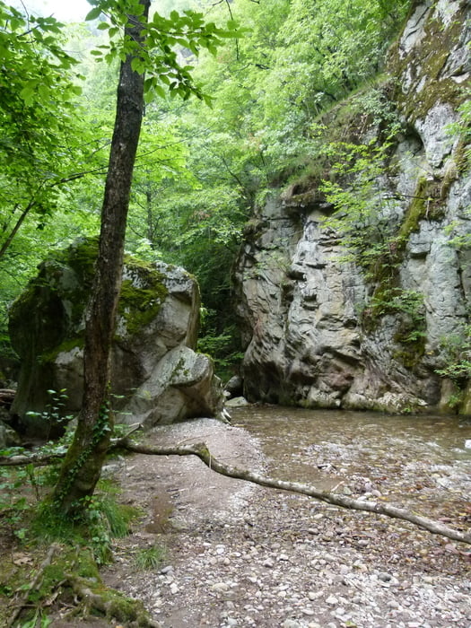
Leichter "Spaziergang" durch die Gaulschlucht in Lana. Vor allem bei großer Hitze sehr agngenehm, da man fast direkt am Wasser ist und durch die hohen steilen Felswände gut vor der Sonne geschützt ist. Die Gaulschlucht muss man hin und dann wieder zurück laufen, da der Weg dann endet. Unseren Kindern hat es immer sehr viel Spaß gemacht nd auch mit Kinderwagen kein Problem.
Further information at
https://www.merano-suedtirol.it/de/lana-und-umgebung/aktivurlaub/wandern-bergsteigen/promenaden-themenwege/rid-2C358B21533F2DDFAABB6A068C0229CA-p-gaulschlucht-lana.htmlTour gallery


Tour map and elevation profile
Minimum height 169 m
Maximum height 396 m
More about the tour author

|
mtriemer |
Comments

Wir sind mit dem Bus bis Busbahnhof gefahren und dann die wenigen Meter bis zum Einstig gelaufen.
GPS tracks
Trackpoints-
GPX / Garmin Map Source (gpx) download
-
TCX / Garmin Training Center® (tcx) download
-
CRS / Garmin Training Center® (crs) download
-
Google Earth (kml) download
-
G7ToWin (g7t) download
-
TTQV (trk) download
-
Overlay (ovl) download
-
Fugawi (txt) download
-
Kompass (DAV) Track (tk) download
-
Track data sheet (pdf) download
-
Original file of the author (gpx) download
More about the tour author
|
|
mtriemer |
Add to my favorites
Remove from my favorites
Edit tags
Open track
My score
Rate