
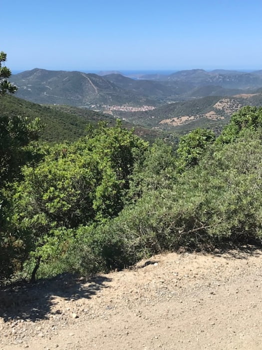

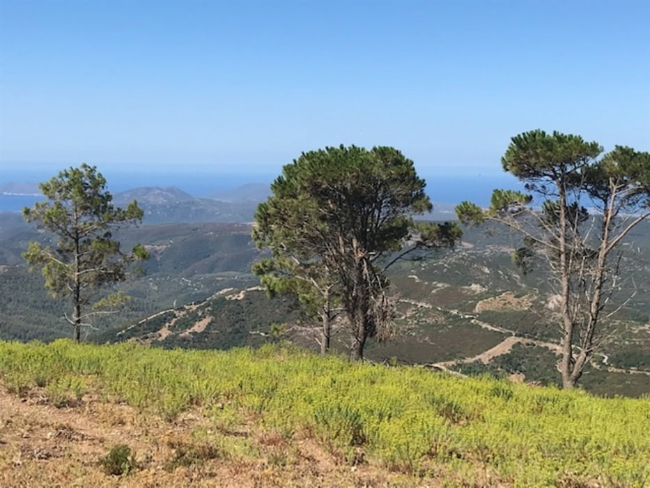
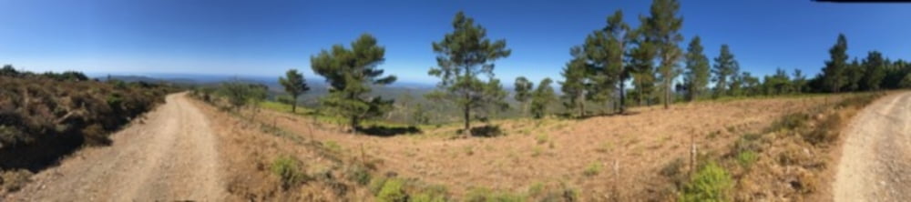
Von Cala Verde über Domus di Maria in die Wälder von Il Cannoneris, weiter nach Teulada und zurück. Es geht fast 800 hm hoch auf Asphalt, dann, nach einer kleinen Abfahrt in steinigen Fahrweg, immer wieder auch Schotter. Die Wälder gehen dann in losen Baumbestand über, typische Ägäis-Lamndschaft mit Akazien, Kiefern und Eukalyptusbäumen, die vor dem Mittelmeer-Horizont stehen. Erst die Küste entlang, dann wieder ins Landesinnere nur mit kleinen Höhenverlusten hinunter nach Teulada, von dort aus nochmals einen kleinen Pass hoch auf 300 m ü.M. und dann bis Domus di Maria reine Passstraßenabfahrt vom Feinsten. Schließlich zurück zum Strand ...
Tour gallery
Tour map and elevation profile
Minimum height -6 m
Maximum height 758 m
More about the tour author
|
|
Telebike |
Comments

GPS tracks
Trackpoints-
GPX / Garmin Map Source (gpx) download
-
TCX / Garmin Training Center® (tcx) download
-
CRS / Garmin Training Center® (crs) download
-
Google Earth (kml) download
-
G7ToWin (g7t) download
-
TTQV (trk) download
-
Overlay (ovl) download
-
Fugawi (txt) download
-
Kompass (DAV) Track (tk) download
-
Track data sheet (pdf) download
-
Original file of the author (gpx) download
More about the tour author
|
|
Telebike |
Add to my favorites
Remove from my favorites
Edit tags
Open track
My score
Rate