
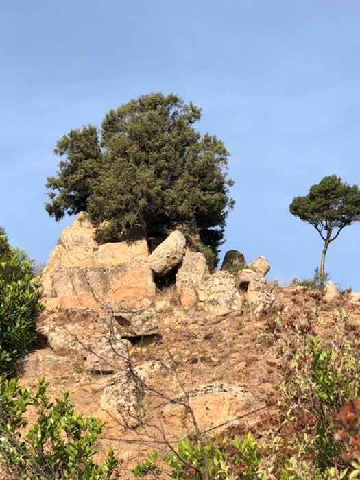

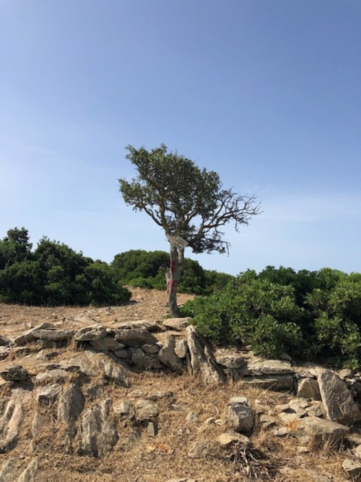
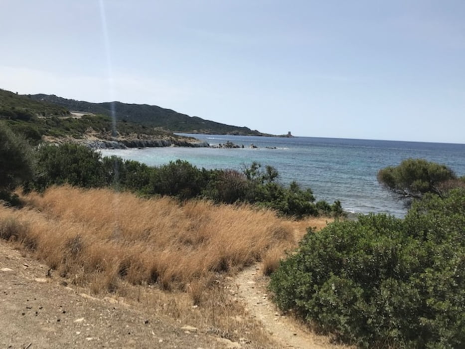
Start in Cala Verde, dann nach Domus di Maria, erste kleine Passstraße über 300 hm Anhöhe und langgezogen hinunter nach Teulada, dort durchs Örtchen und in einer Seitenstraße wieder hinaus. Nach dem Ortsende wird es steil (ca. 18%) und dann endet auch der Asphalt. Bis zur Küstenstraße geht es zunächst steil bergauf und dann gemäßigt weiter auf Schotter. An der Küste entlang dann immer auf und ab, mit schönen Ausblicken und einsamen Badebuchten. Zurück wird es dann immer flacher und heißer ...
Tour gallery
Tour map and elevation profile
Minimum height -4 m
Maximum height 283 m
More about the tour author
|
|
Telebike |
Comments

GPS tracks
Trackpoints-
GPX / Garmin Map Source (gpx) download
-
TCX / Garmin Training Center® (tcx) download
-
CRS / Garmin Training Center® (crs) download
-
Google Earth (kml) download
-
G7ToWin (g7t) download
-
TTQV (trk) download
-
Overlay (ovl) download
-
Fugawi (txt) download
-
Kompass (DAV) Track (tk) download
-
Track data sheet (pdf) download
-
Original file of the author (gpx) download
More about the tour author
|
|
Telebike |
Add to my favorites
Remove from my favorites
Edit tags
Open track
My score
Rate