


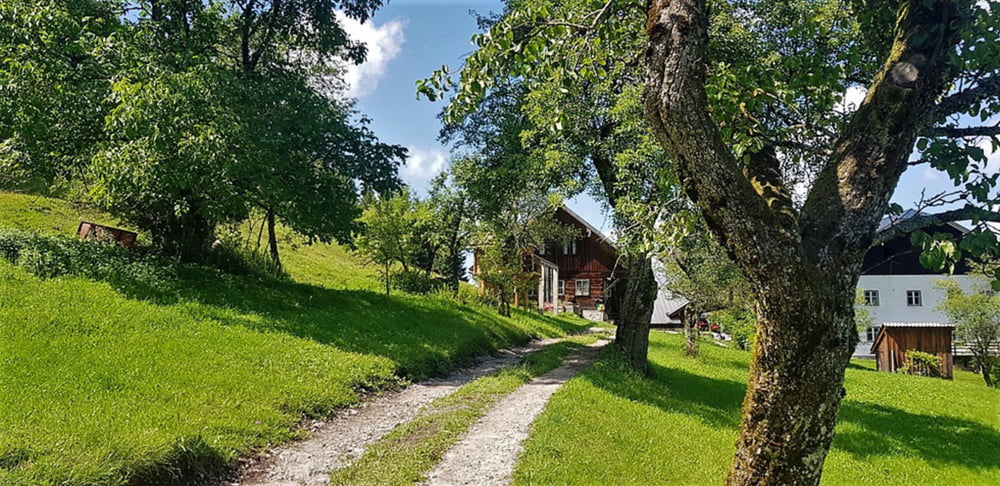
Einfache Wanderung in Ebenau - Nähe der Stadt Salzburg. Durch die geringe Höhenlage auch gut geeignet wenn auf den Bergen noch viel Schnee liegt.
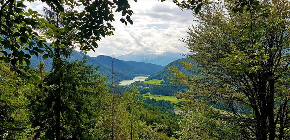
Schöne Aussicht auf Ebenau , den Wiestalstausee und die kleineren umliegenden Flachgauer Berge.
Für nähere Details verwenden Sie den untenangeführten Link
Further information at
https://www.satcom.at/strumberg/Tour gallery
Tour map and elevation profile
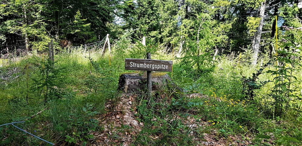
Minimum height 604 m
Maximum height 974 m
More about the tour author
|
|
GarminSalzburg |
Comments

Parkplätze in der Nähe des Heimatmuseums in Ebenau sind vorhanden.
GPS tracks
Trackpoints-
GPX / Garmin Map Source (gpx) download
-
TCX / Garmin Training Center® (tcx) download
-
CRS / Garmin Training Center® (crs) download
-
Google Earth (kml) download
-
G7ToWin (g7t) download
-
TTQV (trk) download
-
Overlay (ovl) download
-
Fugawi (txt) download
-
Kompass (DAV) Track (tk) download
-
Track data sheet (pdf) download
-
Original file of the author (gpx) download
More about the tour author
|
|
GarminSalzburg |
Add to my favorites
Remove from my favorites
Edit tags
Open track
My score
Rate